Updated, Sunday, 3/2/08 @ 4:20pm – The storm has pretty much passed to the south of the Thornton area at this time. The NWS says they will keep the Snow & Blowing Snow Advisory in effect until 8:00pm but there is little cause for concern on our side of town. Any lingering showers should be confined south of I-76 and I-70. Look for clearing skies tonight and a cool but decent day tomorrow. Our next chance for precipitation should be into Wednesday but at this time that doesn’t look like it will amount to much.
Updated, Sunday, 3/2/08 @ 2:00pm – After a bit of a lull things started picking back up for a while. Winds continue to blow quite a bit and more snow is falling. As previously mentioned, it is difficult to measure with how much it is blowing and drifting. The National Weather Service guidelines say to take an average and pretty much make a “best guess” so that is what we do – call it 4.1″ of snow thus far today.
Areas south continue to get the worst of the storm, particularly from Park and Jefferson counties east through Douglas and Elbert counties. Blizzard conditions exist in these areas and do stretch north into eastern Adams county and to Limon. Travel is not advised in these areas.
Radar does seem to indicate that the storm is slowly moving out and we should start seeing a decrease in intensity on the north side of town in the next couple of hours.
Speaking of blizzards… As of yet, this storm has not been classified as an official one – at least in the metro area. By National Weather Service definition, a blizzard has winds of 35mph or greater and blowing snow that reduces visibilities to 1/4 mile or less for more than 3 hours. Today, while the wind has been nasty, speeds have been a bit erratic and we haven’t had the sustained speeds to meet the definition. Further, snowfall rates for the most part haven’t caused that severe of visibility issues. Areas south and east of Denver however do appear to meet the criteria.
Updated, Sunday, 3/2/08 @ 8:40am – Fast and furious would be a good description of this storm. The wind is the biggest thing right now causing drifting. In our area depending on where you measure you can have anywhere from 1/2″ to 5″ which makes it pretty difficult to get an accurate measurement. Radar does currently show that the worst of the storm has passed us by so it should continue to taper off although the wind will be with us for a while.
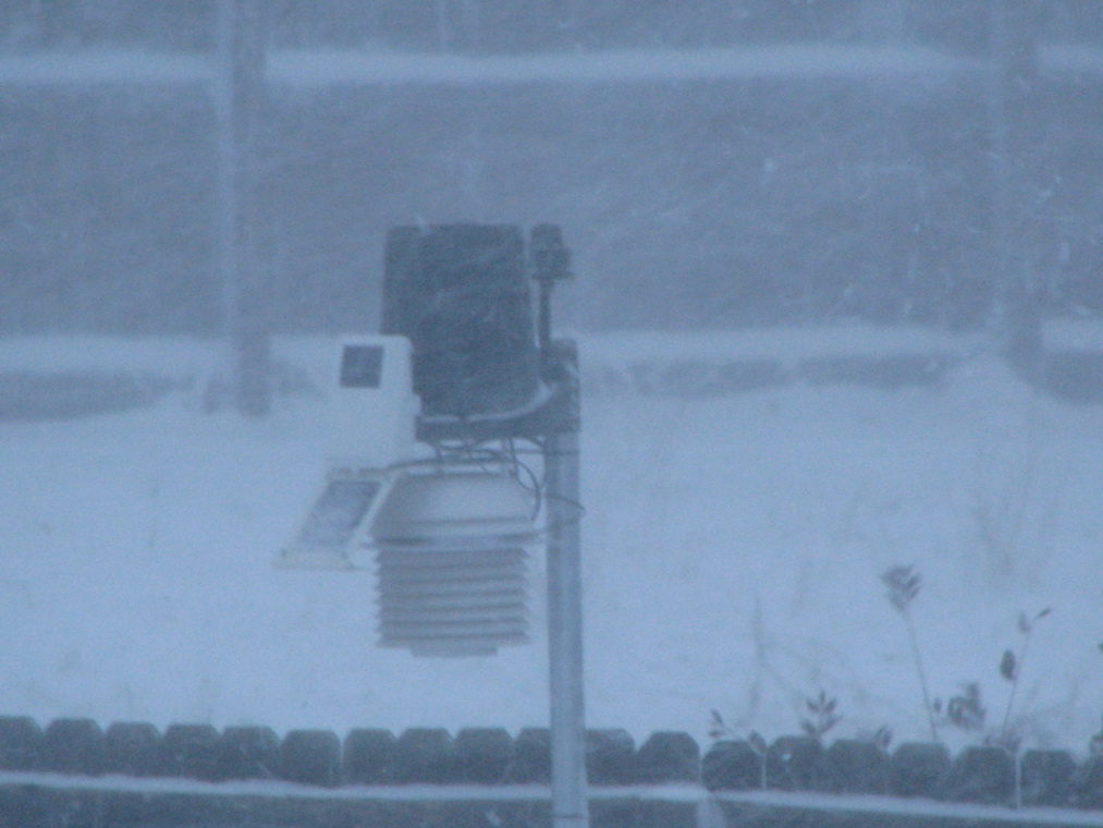
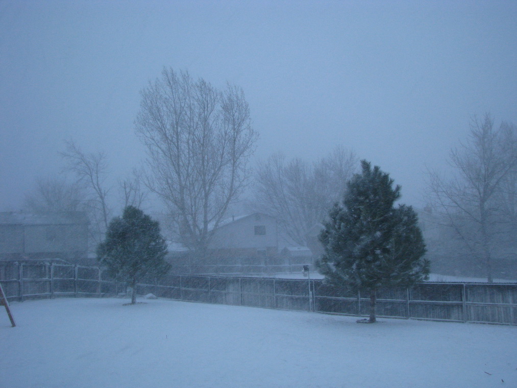
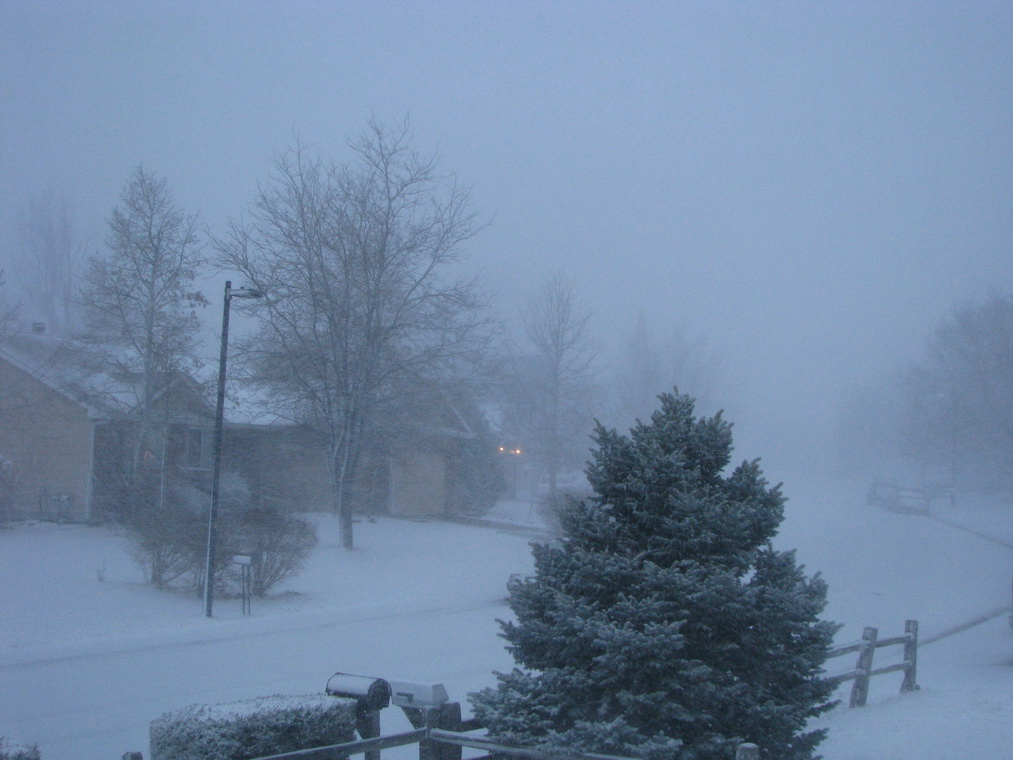
Below are a few pictures we took at around 6:40 this morning as the worst of the snow was falling.
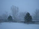
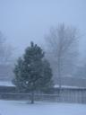

Updated, Sunday, 3/2/08 @ 5:25am – The storm is here! Snow has started falling in the north Thornton area just in the last 15 minutes. Coupled with it are extremely high and dangerous winds. The winds started building about an hour ago as the storm approached and reached a crescendo just before 5:00am when we recorded a ThorntonWeather.com record wind gust of 46mph. This shatters the old record of 40mph. Current average windspeeds are above 30mph which is quite high.
Radar is showing the front moving south across the area and conditions should continue to deteriorate as we get closer to sunrise and as the morning progresses. Please rememeber that there is a Snow & Blowing Snow Advisory in effect until 8:00pm tonight. A snow and blowing snow advisory means that visibilities will be limited due to a combination of falling and blowing snow. Use caution when traveling, especially in open areas.
Saturday, 3/1/08 @ 11:00pm – At 9:51pm tonight the National Weather Service issued a Snow & Blowing Snow Advisory for much of central Colorado and the central and northern mountains. This goes into effect at 5:00am Sunday through 8:00pm. Areas affected do include the Denver metro area. Current models are indicating a stronger than expected upslope with this storm which will help slow it down as it moves through the area.
Rain and snow showers could start to appear after 2:00am, changing to mostly snow by dawn. By the end of the day Sunday we could see between three and five inches of snow in Thornton. However, the ground is pretty warm thanks to the nice weather in recent days so a lot of it won’t stick. The wind could cause some minor drifting and higher accumulations. The south metro area and the Palmer Divide could see some significant accumulations and driving conditions will deteriorate quickly so if you are heading that way, please be aware.
This is of course quite a change compared to today (Saturday) when DIA reached a new record high for this date of 74 – the old record was 73. Up north in Thornton we were a bit warmer with a high of 75.7. We hope everyone enjoyed the warmth because change is coming! 🙂

 You have to love Colorado weather! Monday we had our warmest day of the year with a high of 76.1 degrees. It was absolutely beautiful. Today we most likely will top that by a little bit but unfortunately there will also be wind as a cold front starts to move into the area. Look for high temps today similar to yesterday.
  Looking farther ahead, Wednesday will bring changes as an upper level low moves into the state. The southern Front Range foothills and Palmer Divide area could see three inches of snow. Further north in the metro area and Thornton we could see scattered rain and snow showers but nothing that will accumulate. Thursday we return to seasonal temperatures while the weekend is looking to be beautiful again with highs around 70.
  Website note: Some of you may have noticed our conditions and statistics not updating yesterday starting around 11:30am. We apologize for the problem but our DSL line was down. Qwest of course couldn’t explain why but it miraculously started working again last night. While our website is connected directly to the Internet and stayed up and running, we need the DSL line to update the site with the information from our weather sensors. We apologize for the downtime.
  April marks a transition between winter and summer for most of the country but for Denver it is especially true as we can see a stunning variety of weather. The proverbial April showers are certainly a possibility for Denver. Snow? Tornadoes? Thunderstorms? You bet – all can happen! For good measure throw in a chance for hail and even dust storms and April gives every type of weather condition you could like – or hate.
  Friday marked the one year anniversary of the tornado that struck Holly, Colorado in Prowers County. At 8:11pm on March 28, 2007, with no real warning, an EF-3 tornado with winds of 165mph touched down and quickly tore a path more than two miles long and four blocks wide. 162 of the 369 homes in Holly were either damaged or destroyed but most notably, Rosemary Puga died during the storm and Delores Burns died a month later due to the injuries she suffered.
 First, the good news. With the extraordinary amount of snow the mountains have experienced this winter, the chances of drought are negligible for most of the state. The southeastern corner of Colorado however could see some risk.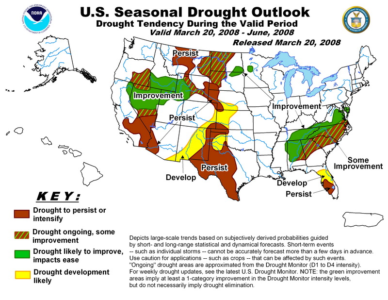
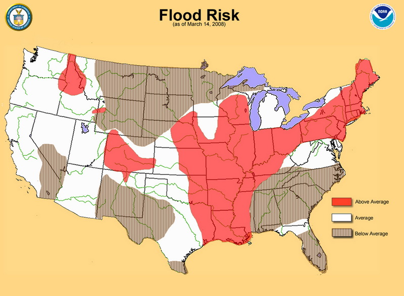
 We’re in the typical rollercoaster weather pattern that we usually see in the spring. Tuesday was beautiful with a high of 68 degrees in Thornton. Today will be a bit cooler as we reach 62 or so and that cooling trend should continue into the weekend. A small disturbance could bring some minor snow accumulations to the area on Friday.