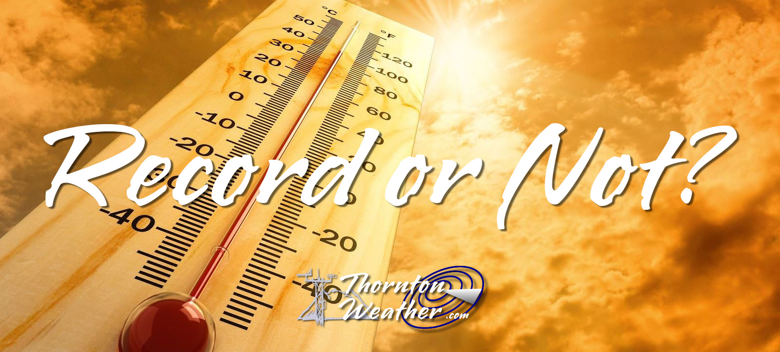
Record or not? Why Denver’s climate records should have an asterisk next to them. (ThorntonWeather.com)
In 1995 with the opening of Denver International Airport, the National Weather Service moved the Mile High City’s official weather station to the new facility. This location, 12 miles from the old Stapleton site, oftentimes sees far different weather than what the majority of people in the Denver area see and it is reflected in our weather records.
We have long said that any claims of a weather record having been set since 1995 should include an asterisk, noting that the comparison is to the old locations and thus not really valid. Those 12 miles make a world of difference.
In the latest example of how our climate records are being altered, Denver supposedly set five all-time record high temperatures this summer. The reality? Not one of those days would have been record-setting had the station not been moved.
Retired National Weather Service meteorologist Dave Larison has long railed against the move of the weather station. In a recent letter to the editor in the Denver Post, he called out the media hype and the National Weather Service for the invalid comparisons. It is shared here with his permission.
Denver’s recent heat wave wasn’t really record-breaking and here’s why
Denver Post Opinion, August 21, 2024
Re: “100-degree sizzlers here to stay as summers get hotter,” Aug. 11 news story
Any discussion of Denver weather records must include the fact that the official recording site was moved to Denver International Airport (DIA) when it opened in 1995. This location has a different microclimate than the previous site of Stapleton Airport, situated 12 miles to the southwest of DIA. Before Stapleton, weather records were taken in downtown Denver dating back to 1872.
On Sunday, Aug. 4, the daily record high of 102 set at DIA would not have been a record at Denver Central Park (Stapleton) where the daily high was 96. In fact, none of the five daily record highs set at DIA this summer would have been records at the previous Denver sites. DIA has reached 100 degrees on six days in 2024, while the highest temperature recorded at Central Park has been 99.
With all the media hype of human-made climate change and record heat, we need to be careful not to compare apples and oranges with weather stats going out to the world representing Denver. Average annual precipitation also tends to run a bit lower at DIA, and snowfall is quite often less at the airport due to its proximity farther away from the mountains.
— Dave Larison, Longmont
— Editor’s note: Larison is a retired National Weather Service meteorologist
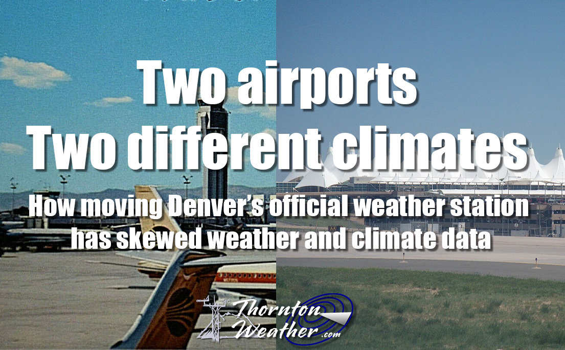
RELATED: Two airports, two different climates. Read the series:
Two airports, two different climates. How Denver’s weather and climate records are skewed by a 12 mile move. (ThorntonWeather.com)
ThorntonWeather.com’s owner and operator used to write for a now-defunct website called Examiner. This was a national site but with locally focused content. As the Denver Weather Examiner, Tony covered a number of topics related to Denver and Colorado weather.
Among them, he was always quick to point out how Denver’s weather records were being skewed by the move of Denver’s official weather station to Denver International Airport. In 2009, he wrote a three-part series explaining why this was an issue and why it mattered.
Fifteen years later, this continues to be a problem and thus we are re-publishing the series here. While the data is not current and some of the images were lost with time, readers can still understand and appreciate the problem.
Part 3: Does it matter if Denver weather and climate records are skewed? Originally published March 5, 2009, Examiner.
Fourteen years ago Denver opened its new airport and the National Weather Service followed suit and moved Denver’s weather monitoring system 12 miles east further onto the plains. Since then, weather enthusiasts and meteorologists have said Denver’s climate records were forever being altered inappropriately.
Monday we provided some background on the history of Denver’s weather monitoring and records. Yesterday we took a look at empirical data that shows that the weather at DIA does not accurately reflect the weather in town where people actually live and showed why it isn’t fair to compare data from the last 14 years to measurements taken in the previous 124. Today we explain why all this matters and talk to the National Weather Service to see what they have to say about the problem.
Does it matter?
Public policy decisions are made based on accurate measurements of our environment and the weather. Consider the debate over global warming or something on a smaller scale closer to home, water management decisions. Living in a semi-arid environment like we do in Colorado, much depends on water- from Colorado’s largest industry of agriculture to how much water you have for your lawn in the summer. If measurements taken at DIA claim an abnormally dry or wet year, governments and the public make decisions based on them. But are those decisions accurate and are they based on valid data?
I spoke to Byron Lewis, Program Manager at the National Weather Service Office in Boulder, and he stated that he felt the comparison of historical records between those taken at DIA and Stapleton should not matter – he says it is no different than when Denver’s official station moved from downtown to Stapleton in 1950. He also felt that the issue of accuracy between precipitation and snow measurements was not noteworthy.
Others see it differently. They point to the fact that the move from downtown to Stapleton was 6 miles – half the distance of the move from Stapleton to DIA. Further, they argue that the area where DIA resides in a much more ‘plains’ type climate and does not accurately reflect Denver weather.
One retired NWS meteorologist told me, “It is climatologically absurd for the NWS to mix the 1872-1994 Denver city records with DIA weather data for the purposes of normals, record extremes, and top ten lists. Many in the public and science community can recognize this fallacy–and it’s making the Weather Service look foolish.”
The Solution
The National Weather Service does at least partially recognize the problem and seems to have acknowledged that the weather at DIA is not what most folks experience within Denver. Mr. Lewis said that next month they hope to begin installing a new monitoring station in Denver City Park. This new station will provide more accurate measurements closer to where people actually live. However, there is a catch – official Denver records and measurements will continue to be taken at DIA.
There is nothing to prevent the National Weather Service from moving the official measuring site back to Stapleton or some other more central location. One local news station has a statement on their website claiming that, “because commercial airports are the origin of regular weather observations in the United States. This is mandated by the National Weather Service and the Federal Aviation Administration.” This is absolutely untrue.
While weather stations must be maintained at major airports for obvious reasons, cities do not need to use those specific stations for their official measurements. In fact, the United States’ two largest cities – New York and Los Angeles – both take official weather measurements in different locations than their airport. New York measures its weather in Central Park and Los Angeles takes its measurements downtown.
It is this weather enthusiast’s opinion that by throwing yet another location into the mix, the water simply gets muddled further. As long as Denver’s “official” weather measurements are taken at DIA, any records should either come with an asterisk denoting that they aren’t comparable to historical records or they should only be based on data collected in the last 14 years.
Unless and until a move is made, we just have to remember to take any announcement of a weather record with a grain of salt.
Two airports, two different climates. Read the series:
Two airports, two different climates. How Denver’s weather and climate records are skewed by a 12 mile move. (ThorntonWeather.com)
ThorntonWeather.com’s owner and operator used to write for a now-defunct website called Examiner. This was a national site but with locally focused content. As the Denver Weather Examiner, Tony covered a number of topics related to Denver and Colorado weather.
Among them, he was always quick to point out how Denver’s weather records were being skewed by the move of Denver’s official weather station to Denver International Airport. In 2009, he wrote a three-part series explaining why this was an issue and why it mattered.
Fifteen years later, this continues to be a problem and thus we are re-publishing the series here. While the data is not current and some of the images were lost with time, readers can still understand and appreciate the problem.
Part 2: Data shows Denver weather records skewed by move to DIA Originally published March 3, 2009, Examiner.
Did you hear February was Denver’s least snowiest month? Or was it? As we discussed yesterday, a growing chorus of voices are objecting to the National Weather Service’s use of measurements at Denver International Airport for official Denver weather record keeping. They claim that comparing data from DIA to previous records compiled for more than 40 years at Stapleton and more than 75 years before that in downtown isn’t a fair analysis.
In this second of a three part series, we take a look at some of the data to see just how big of a difference the 12 mile move from Stapleton to DIA made. We also investigate potential issues with accuracy at the automated monitoring station at DIA that could forever be altering our climate records. Tomorrow we will take a look at why all of this matters and why you should care.
Temperatures
An analysis shows that in just the last eight years DIA registers warmer high temperatures and cooler low temperatures than stations closer to downtown and in areas where people actually live. For our comparison, we compared the last eight years of data for Denver International Airport versus the measurements taken at Buckley Air Force Base. We chose Buckley because that is the closest official measuring station to the location of the old Stapleton International Airport.
<insert table>
As you can see, the differences between where measurements have been taken for the last 14 years at DIA and where they were taken previously is significant. DIA’s highest recorded temperatures each year averages nearly 2 degrees more than those closer to Denver. Similarly, the station’s low temperatures are more than 2 degrees cooler. This essentially throws any record high or record low temperatures that were recorded in the last 14 years out the window. Any comparison of today’s data with historical records taken at Stapleton are invalid because the location move to DIA has clearly impacted the measurements.
Precipitation
This is probably the single most astonishing statistic and helps to show just how much of a difference 12 miles can make. The National Weather Service has been taking precipitation measurements at both DIA and at the former Stapleton site so we can do a direct comparison between the two sites. The results are astonishing.
<insert table>
The chart clearly shows that precipitation measurements at DIA consistently underperform as compared to those at Stapleton. Over the 8 year period, DIA on average measures 13% less precipitation than Stapleton.
One year in particular stands out. In 2002 Colorado was in a drought by any measurement. At the end of the year the National Weather Service proclaimed it as Denver’s driest on record. However, that claim was based on measurements at DIA. If you use the measurements at Stapleton – where weather records were kept for more than 40 years – the claim doesn’t stand up to scrutiny. Stapleton’s 8.49 inches of precipitation in 2002, while certainly a dry, below normal year, would actually make it only the 6th driest year. It can easily be argued that the claim that 2002 was Denver’s driest year should be discarded.
As a more recent example, March 2008 was proclaimed the “third driest March on record” when a mere 0.17 inch of precipitation was recorded at DIA. However, 0.55 inch was recorded at Stapleton, an amount which would not put the month anywhere near the top 10 driest.
Snowfall
Historical snowfall measurement comparisons between the two locations unfortunately cannot be directly performed as it was only this year that the National Weather Service began measuring snow at DIA. However, we can infer from the precipitation measurements noted above that there will be a comparable discrepancy in snowfall measurements as well. This stands to reason as the plains receive less snow than areas closer to the mountains and going 12 miles east can make a big difference.
Issues of accuracy?
The precipitation and snowfall issue gets even further convoluted this year with the move to measuring snowfall at DIA. While this would seem to solve the problem of inconsistency between taking precipitation measurements at DIA but snowfall at Stapleton, it turns out things aren’t quite that easy.
Weather enthusiasts have noticed problems with recent snowfall and precipitation measurements. Just recently on Monday, January 12th, when a small snow storm moved through the Front Range the National Weather Service recorded 3 inches of snowfall but only 0.03 inch precipitation.
On average snow has a 10:1 moisture content which means that 1 inch of snow equals 0.1 inch of moisture. Using the standard, approximately 0.3 inch precipitation should have been recorded – 10 times what was actually reported.
Extending the observation period out to include the two month period from December 1, 2008 to January 31, 2009, similar problems have occurred. At Stapleton, where measurements are taken manually, 12 inches of snowfall was recorded with a moisture content of 1.08 inches – approximately an 11:1 ratio and one that could be expected. By contrast, DIA – using automated precipitation measurements – recorded 15 inches of snow but a meager 0.37 inch of precipitation. That is an unfeasibly dry 40:1 snow to precipitation ratio.
Detractors abhor the use of automated stations for such important climate records and are quick to point out that this is but one of many examples of inconsistent measurements. One former NWS employee said, “the NWS sold their soul to automation years ago” and as a result we are stuck with inaccurate records.
Two airports, two different climates. Read the series:
Two airports, two different climates. How Denver’s weather and climate records are skewed by a 12 mile move. (ThorntonWeather.com)
ThorntonWeather.com’s owner and operator used to write for a now-defunct website called Examiner. This was a national site but with locally focused content. As the Denver Weather Examiner, Tony covered a number of topics related to Denver and Colorado weather.
Among them, he was always quick to point out how Denver’s weather records were being skewed by the move of Denver’s official weather station to Denver International Airport. In 2009, he wrote a three-part series explaining why this was an issue and why it mattered.
Fifteen years later, this continues to be a problem and thus we are re-publishing the series here. While the data is not current and some of the images were lost with time, readers can still understand and appreciate the problem.
Part 1: Do Denver weather and climate records have an asterisk attached? Originally published March 2, 2009, Examiner.
February 2009 is Denver’s least snowiest February on record. A new record high temperature is recorded on January 21, 2009. Record low temperatures are recorded on December 14th and 15th of last year.
These announcements are common and we all take notice when we hear them and they make for great water cooler chat topics but are these claims accurate?
In 1995 Denver finally opened its new airport out on the plains east of the city. This new facility, 12 miles as the crow flies northeast of the old Stapleton International Airport, moved the airport from an urban environment to a rural one and more than 19 miles from the center of Denver. Following that move, the National Weather Service (NWS) began taking some of its official measurements at the glistening new airport. In doing so, some say Denver’s climate records have forever been altered and as such any weather record should have an asterisk attached to it.
Official Denver weather statistics were collected from the NWS’ downtown Denver office from November, 1871 to December 1949. In January 1950 observations were moved to Stapleton International Airport where they remained until February 1995. From March 1995 forward, Denver’s official weather has been measured at DIA. With the move, precipitation switched to Automated Surface Observing Systems (ASOS), an automated means of making the measurement. In a somewhat confusing twist, the measuring of snowfall remained at Stapleton until just this snow season.
The question many are asking – Does a move of 12 miles make that much of a difference when measuring the weather? Twelve miles is the same distance as between downtown and Golden, or downtown and Centennial or downtown and the northern edge of Thornton. How often do we hear about heavy snow falling at I-25 and C-470 and yet downtown remains dry? If you live in any of the outer metro area suburbs you know that what the news stations report as the weather downtown rarely is what you experience.
Twelve miles, particularly in a topographically and geographically diverse area as the Front Range would appear to make a world of difference. That is why when you watch the evening news local meteorologists include the conditions at their local station downtown in addition to the official data at DIA. Most local meteorologists have railed against the move and are quick to point out that the weather as measured at DIA does not reflect what Denver weather truly is.
When new records are announced, detractors point out that it isn’t fair to compare the data compiled at DIA with that which was recorded previously at Stapleton or downtown. Just yesterday the National Weather Service announced that February 2009 was the least snowiest on record. But was it really? The NWS says Denver received only a trace of snow (less than 0.1 inch) but this was at DIA. The vast majority of the metro area had at least some measurable snow during the month and Stapleton, where official records were kept for more than 40 years, had 0.8 inch of snow – a number that would push it well out of ‘least snowiest’ contention. Many say we are comparing apples and oranges.
Empirical data shows that every meaningful statistic has been skewed by the move to DIA. In this three part series we will take a look at how moving Denver’s official weather measurements to DIA have skewed Denver’s climate records and why it matters to you. Tomorrow we take a look at the empirical data showing just how big of a difference 12 miles makes. Wednesday we’ll tell you why it matters and learn about some possible solutions to the problem.
Stay tuned!
Two airports, two different climates. Read the series:
The tornado near DIA sent workers working on the terminal renovations scrambling. (Rob Gardner)
The tornado that struck on the grounds of Denver International Airport (DIA) on Tuesday, June 18, 2013 has been rated an EF1 with winds up to 109 mph. The twister came within a half mile of Concourses A and B and sent workers and travelers scrambling to tornado shelters.
Scroll down to see more photos of the tornado.
From the National Weather Service:
A tornado developed on Denver International Airport (DIA) grounds on the afternoon of June 18, 2013. The tornado formed around 2:19 PM just north of 70th Avenue. The tornado then moved slowly northwest between Runway 35R and 35L, and moved to within a half mile of Concourses A and B before dissipating at 2:36 PM. The tornado moved extremely close if not over the ASOS (Automated Surface Observation System) and another low level wind shear sensor at DIA. The ASOS weather observing system reported a 97 mph wind gust at 2:27 PM, while the wind shear sensor reported a wind gust to 109 mph at the same time – indicative of an EF1 tornado. There was only minor damage noted to this equipment. The storm responsible for this tornado first developed just south of the airport, and then drift slowly northward across the eastern side of DIA. At 2:05 PM, there was weak rotation beginning to develop underneath this storm as noted by the velocity data below. This rotation then strengthened quickly between 2:10 and 2:22 PM.
Hot or cold: Denver's problematic weather records. (Denver Weather Examiner)
Does a move of 12 miles make a difference in what type of weather is seen in Colorado? Longtime residents know that our weather can vary greatly over short distances and this has many questioning the placement of Denver’s official weather monitoring station.
From 1871 to 1949 Denver’s weather was recorded at the National Weather Service’s office in downtown Denver. In January 1950 a move was made to Stapleton International Airport.
As that facility aged Denver opened Denver International Airport on the plains northeast of Denver in 1995. The weather service followed suit and moved the Mile High City’s official weather station the 12 miles to DIA.
Since that time, many weather watchers have noticed problems – DIA is consistently warmer and drier than the old site at Stapleton. Further, its remote location gives conditions far from where most people in Denver live and thus doesn’t accurately represent what they are experiencing.
Even bigger issues arise when comparing weather data taken today with measurements previously recorded at Stapleton or downtown. The different microclimates of the sites are so different that it becomes much like comparing apples and oranges.
This was recently made evident with the string of 90 degree or warmer days we put together. If you went by the station at DIA, the streak lasted 18 days putting in a three way tie for the second longest streak in Denver history. However, no monitoring station closer to the city was as warm.
Further, while July was certainly a wet month, DIA’s precipitation measurements fell far short of most other locations.
Amid concerns about a warming climate, can we trust the measurements at DIA? How is it possible to compare the weather today with historical weather when there is such a large discrepancy?
We recently tackled this topic on the Denver Weather Examiner and the conclusion is obvious – It simply is impossible to correlate current weather records with Denver’s historical ones. Further, the National Weather Service seems intent on ignoring the issue.
The old Stapleton International Airport site and Denver International Airport are separated by 12 miles. Is it accurate to compare weather between the two locations?
These announcements are common and we all take notice when we hear them and they make for great water cooler chat topics but are these claims accurate?
In 1995 Denver finally opened its new airport, Denver International Airport, out on the plains east of the city. This new facility, 12 miles as the crow flies northeast of the old Stapleton International Airport, moved the airport from an urban environment to a rural one and more than 19 miles from the center of Denver. Following that move, the National Weather Service (NWS) began taking some of its official measurements at the glistening new airport. In doing so, some say Denver’s climate records have forever been altered and as such any weather record should have an asterisk attached to it.