ThorntonWeather.com’s owner and operator used to write for a now-defunct website called Examiner. This was a national site but with locally focused content. As the Denver Weather Examiner, Tony covered a number of topics related to Denver and Colorado weather.
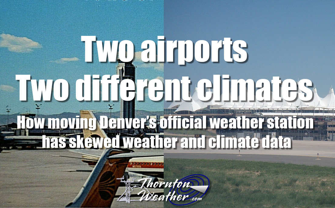
Among them, he was always quick to point out how Denver’s weather records were being skewed by the move of Denver’s official weather station to Denver International Airport. In 2009, he wrote a three-part series explaining why this was an issue and why it mattered.
Fifteen years later, this continues to be a problem and thus we are re-publishing the series here. While the data is not current and some of the images were lost with time, readers can still understand and appreciate the problem.
Part 3: Does it matter if Denver weather and climate records are skewed?
Originally published March 5, 2009, Examiner.
Fourteen years ago Denver opened its new airport and the National Weather Service followed suit and moved Denver’s weather monitoring system 12 miles east further onto the plains. Since then, weather enthusiasts and meteorologists have said Denver’s climate records were forever being altered inappropriately.
Monday we provided some background on the history of Denver’s weather monitoring and records. Yesterday we took a look at empirical data that shows that the weather at DIA does not accurately reflect the weather in town where people actually live and showed why it isn’t fair to compare data from the last 14 years to measurements taken in the previous 124. Today we explain why all this matters and talk to the National Weather Service to see what they have to say about the problem.
Does it matter?
Public policy decisions are made based on accurate measurements of our environment and the weather. Consider the debate over global warming or something on a smaller scale closer to home, water management decisions. Living in a semi-arid environment like we do in Colorado, much depends on water- from Colorado’s largest industry of agriculture to how much water you have for your lawn in the summer. If measurements taken at DIA claim an abnormally dry or wet year, governments and the public make decisions based on them. But are those decisions accurate and are they based on valid data?
I spoke to Byron Lewis, Program Manager at the National Weather Service Office in Boulder, and he stated that he felt the comparison of historical records between those taken at DIA and Stapleton should not matter – he says it is no different than when Denver’s official station moved from downtown to Stapleton in 1950. He also felt that the issue of accuracy between precipitation and snow measurements was not noteworthy.
Others see it differently. They point to the fact that the move from downtown to Stapleton was 6 miles – half the distance of the move from Stapleton to DIA. Further, they argue that the area where DIA resides in a much more ‘plains’ type climate and does not accurately reflect Denver weather.
One retired NWS meteorologist told me, “It is climatologically absurd for the NWS to mix the 1872-1994 Denver city records with DIA weather data for the purposes of normals, record extremes, and top ten lists. Many in the public and science community can recognize this fallacy–and it’s making the Weather Service look foolish.”
The Solution
The National Weather Service does at least partially recognize the problem and seems to have acknowledged that the weather at DIA is not what most folks experience within Denver. Mr. Lewis said that next month they hope to begin installing a new monitoring station in Denver City Park. This new station will provide more accurate measurements closer to where people actually live. However, there is a catch – official Denver records and measurements will continue to be taken at DIA.
There is nothing to prevent the National Weather Service from moving the official measuring site back to Stapleton or some other more central location. One local news station has a statement on their website claiming that, “because commercial airports are the origin of regular weather observations in the United States. This is mandated by the National Weather Service and the Federal Aviation Administration.” This is absolutely untrue.
While weather stations must be maintained at major airports for obvious reasons, cities do not need to use those specific stations for their official measurements. In fact, the United States’ two largest cities – New York and Los Angeles – both take official weather measurements in different locations than their airport. New York measures its weather in Central Park and Los Angeles takes its measurements downtown.
It is this weather enthusiast’s opinion that by throwing yet another location into the mix, the water simply gets muddled further. As long as Denver’s “official” weather measurements are taken at DIA, any records should either come with an asterisk denoting that they aren’t comparable to historical records or they should only be based on data collected in the last 14 years.
Unless and until a move is made, we just have to remember to take any announcement of a weather record with a grain of salt.
Two airports, two different climates. Read the series:

")
")
")
")
")
