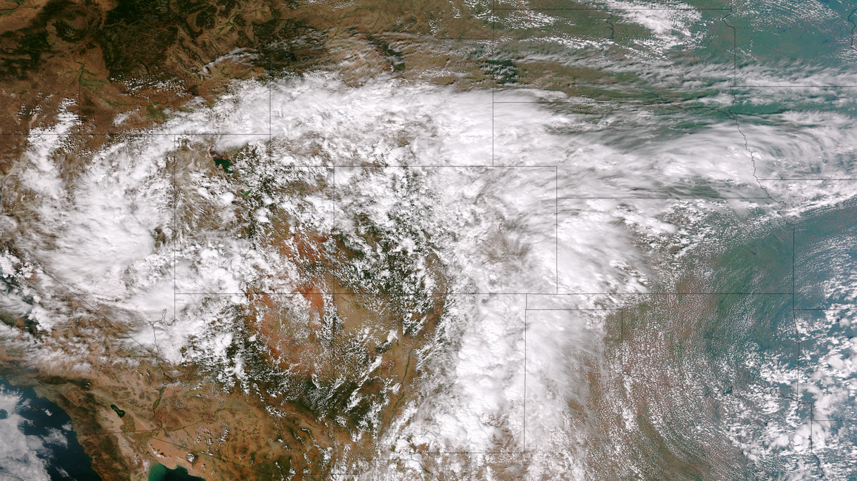
Colorado’s September 2013 floods have been absolutely devastating with over 1,500 homes destroyed and a death toll yet to be finalized. NASA satellites flew over the area near Greeley in recent days and the before and after pictures provide a stunning view from above of the devastation.
Using the ‘sliders’ on the two image sets below you can compare how the area looks normally versus how it looked in the days immediately after the flooding.
[wpw_ba_viewer width=”600″ height=”auto” anim_speed=”600″ start_percent=”0.5″ disable_intro=”false”]
[wpw_ba_img src=”http://lh6.googleusercontent.com/-EHZnr2QxwDo/UjxBTiFTICI/AAAAAAAAArY/lN8SZl9OGLs/s600/greeley-before.jpg” data_second=”http://lh3.googleusercontent.com/-Afkp7QnthD8/UjxBTnDEMrI/AAAAAAAAArU/QsAh-2SWRkw/s600/greeley-after.jpg” title=”Satellite imagery comparison of the area near Greeley, Colorado before and after the September 2013 flooding. (NASA EO)” data_info=”Satellite imagery comparison of the area near Greeley, Colorado before and after the September 2013 flooding. (NASA EO)”]
[/wpw_ba_viewer]Satellite Imagery of Flooding Near Greeley, Colorado – “Though water levels on the South Platte River were receding, muddy brown waters were still out of the river’s banks near Greeley, Colorado, on September 17, 2013, when the Operational Land Imager (OLI) on the Landsat 8 satellite acquired this image. At the time, the river was more than six feet above flood stage, down from more than eight feet above flood stage.” The before image was acquired on June 29, 2013 and shows the area as it normally appears. (NASA EO)
[wpw_ba_viewer width=”600″ height=”auto” anim_speed=”600″ start_percent=”0.5″ disable_intro=”false”]
[wpw_ba_img src=”http://lh4.googleusercontent.com/-4P17RwE0yJ4/UjxBUXq6AEI/AAAAAAAAArc/jf6eRTTMaeQ/s600/platte-before.jpg” data_second=”http://lh6.googleusercontent.com/-oFx1h0x653Y/UjxBTgBj2KI/AAAAAAAAArM/-rgcmbR2otk/s600/platte-after.jpg” title=”Satellite imagery comparison of the area near Greeley, Colorado before and after the September 2013 flooding. (NASA EO)” data_info=”Satellite imagery comparison of the area near Greeley, Colorado before and after the September 2013 flooding. (NASA EO)”]
[/wpw_ba_viewer]Infrared Satellite Imagery of Flooded South Platte River – “Intense rainfall in northern and eastern Colorado brought widespread, destructive flooding in mid-September 2013. Local citizens reported as much as 18 inches (46 centimeters) of rain from September 9 to 15, with some of the heaviest accumulation along the Front Range of the Rocky Mountains. A break in the precipitation allowed the Moderate Resolution Imaging Spectroradiometer (MODIS) on NASA’s Aqua satellite to acquire the top image of the floods on September 14. The second image, taken by Terra MODIS on September 7, 2013, shows the region before the rains began. The images were made from infrared light to increase the contrast between water and land.” (NASA EO)

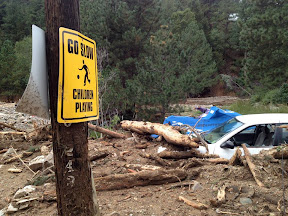

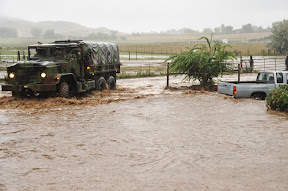
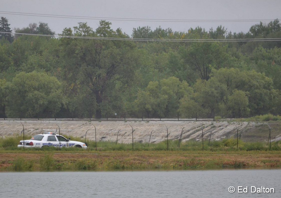
 The start of meteorological fall has been highly eventful with record-setting high temperatures followed by virtually unprecedented rainfall. Four days of steady, sometimes heavy, rain has created hazardous conditions in many places along the Colorado Front Range including Thornton.