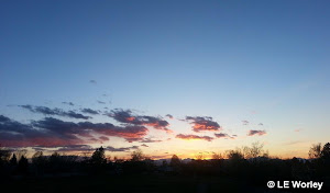
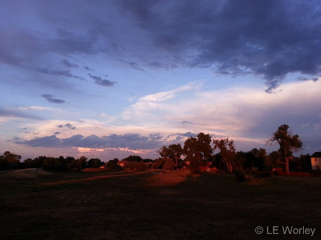
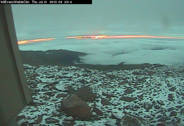
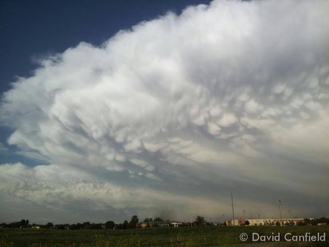
August’s weather typically consists of warm daytime temperatures followed by afternoon and evening thunderstorms. Those storms provide excellent photo opportunities as do the various flora and fauna we see around this time of year.
Thornton’s spring and summer have been relatively wet allowing for a very lush, green landscape. Flowers are blooming and butterflies, bees and birds are all taking advantage of them. The near daily thunderstorms offer rain as well as lightning and sometimes hail. All make for prime photo subjects.
- Slideshow updated August 31, 2014
- To learn more about how to send your photo to us for inclusion in the slideshow, see below the slideshow.
Showcasing images captured by ThorntonWeather.com readers as well as some of our own, our monthly slideshow covers the entire gamut of weather-related imagery.
Sunsets, sunrises, wildlife and of course every type of weather condition are vividly depicted in images captured from yours and our cameras.
Click the play button below and sit back and enjoy the images.
What is missing in the slideshow above? Your photo!
Our monthly photo slideshow is going to feature images that we have taken but more importantly images that you have captured. The photos can be of anything even remotely weather-related.
Landscapes, current conditions, wildlife, pets, kids. Whimsical, newsy, artsy. Taken at the zoo, some other area attraction, a local park, a national park or your backyard. You name it, we want to see and share it!
Images can be taken in Thornton, Denver or anywhere across the extraordinary Centennial State. We’ll even take some from out of state if we can tie it to Colorado somehow.
We’ll keep the criteria very open to interpretation with just about any image eligible to be shown in our slideshows.
What do you win for having your image in our slideshow? We are just a ‘mom and pop’ outfit and make no money from our site so we really don’t have the means to provide prizes. However you will have our undying gratitude and the satisfaction that your images are shared on the most popular website in Thornton.
To share you images with us and get them included in the slideshow just email them to us or share them with ThorntonWeather.com on any of the various social media outlets. Links are provided below.
So come on, get those camera’s rolling!
- Email: info@ThorntonWeather.com
- Facebook: https://www.facebook.com/ThorntonWeather
- Google+: https://plus.google.com/+Thorntonweather
- Twitter: @ThorntonWeather (https://twitter.com/thorntonweather)
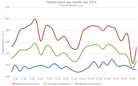
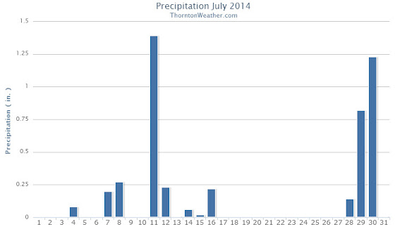
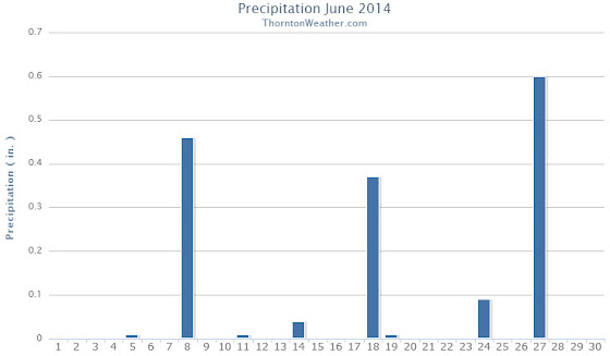
 Late afternoon thunderstorms and showers began falling yesterday and continued through midnight. Areas to the east and north, including Denver International Airport, saw more precipitation than other locations and DIA set a daily rainfall record as a result.
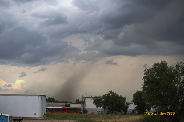

")