An interesting article from USA Today today discusses the fact that despite the snow we have recently enjoyed, we can’t rule out drought in 2008. In part it says:
Despite a series of snowstorms that rescued ski areas in Colorado just before the holidays and built up the below-average snowpack, experimental forecaster Klaus Wolter says there still is a possibility of drought next year.
“My experimental forecast guidance for the late winter season (January-March 2008) continues to show a pervasive tendency for dry conditions over the full domain. Half of Colorado, and most of Arizona and New Mexico appear most likely to experience a dry season, raising the specter of renewed drought in currently drought-free regions,” said Wolter.
In other words, we can’t count on the wet weather to continue. It is important to note that while the southern and central mountains have had lots of snow, the South Platte River basin, from which the Front Range gets most of its water, is still below normal levels. To read the full article, click here.
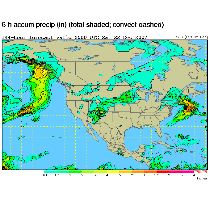
Things are finally starting to look nice for us. The recent series of storms is gone for us (and now wreaking havoc on the midwest) and we should be in for a nice week. Temperatures should be in the mid to upper 40’s with clear and sunny skies all week. Friday and heading into Saturday though could bring a change. Current forecast models (below) show a chance for snowfall during that time period but of course this far out it is hard to say for sure. Check back often for the latest!
ThorntonWeather.com recorded 8/10ths of an inch of snow so the system didn’t product much moisture. Lows Friday night will be down into the single digits. Saturday will be sunny and near freezing and Sunday we will finally truly warm up above 40 degrees. That may not last for too long though – long range forecasts show a chance for more snow toward the end of next week!
Because of the delay, we can expect light snow showers throughout the day, possibly making for a messy commute home. Roads could be slick so be careful out there. The snow will continue till the evening and we can expect between one and three inches total accumulation.
Here it comes again but this time won’t be as bad as the last two. This storm should move pretty quickly through the area tonight and into tomorrow morning. Current indications are we can expect between 1 and 4 inches of the white stuff. A lot of folks are already tired of the snow but remember that while the mountains have had a ton of snow, here on the Front Range we are still a good ways below normal for precipitation!
Unfortunately, historical trends don’t give us too good of a chance but there is always hope – remember last year? Click here to read our Christmas weather page and check back often for the latest Christmas forecasts as the holiday gets closer.
Another round of snow moved into the metro area last night making for pretty messy conditions. As of 6:00 this morning we have recorded 2.1″ of fresh snow in Thornton with more on the way. You can expect the white stuff to continue falling throughout the day with additional accumulations of 1″ to 3″.This of course is the second storm in less than a week to bring snow to us. It is hard to complain considering how dry we have been in recent weeks. The cause for the moisture? Two factors have helped:
One is the jetstream. We generally see moisture come our way when the jetstream has dipped south to off of the coast of Southern California / Baja California. If you take a look at our jet stream map, you will see that happening.
The second factor is the wind from the northeast. Heading into this past weekend’s storm, we weren’t expecting much because the wind was from the west northwest (called a downslope wind) which would have helped move the storm past quickly. Instead, the wind shifted from the northeast (an upslope wind). Upslope winds help to slow storms down and hold them in place against the mountains, thus resulting in greater snowfall for the metro area.
Until these storms move out, stay warm and stay safe!
December is normally only our 4th snowiest month so we may not get a lot of relief. Current 30-day forecasts expect near normal temps but slightly below normal precipition. You can read more in our December Climate Preview here.
Big changes from recent weather to say the least! Monday we were near 80 degrees but by Wednesday we dropped to a “high” temperature of 28. Tuesday we recorded 2.6″ of snow which brings some desperately needed moisture to the area. Look for the cold to stay with us until Sunday when we will return to the 50’s.
Note: The National Weather Service has been experiencing some problems with their website and that is impacting some of the data shown here on ThorntonWeather.com – particularly the forecasts. To obtain a current forecast manually, please click here.
We’ll reach a high near 50 around mid-day today but clouds will be increasing and the temp will drop quickly after that (see chart below). Tonight expect to see the temperatures drop into the upper teens / low 20’s. The snow has been delayed a bit and most likely won’t arrive till after dark. Accumulations will be light – expect 1 – 3″ in Thornton.
Temperature Forecast – 9:00am Tuesday to 6:00am Wednesday
Wednesday we may not even reach freezing (brrrrr!) with the chance for a bit more snow but it won’t be much, if any. Wednesday night we’ll again be down to the teens and Thanksgiving is looking to be another cold one! Holiday travelers should keep an eye on the developing conditions, particularly if you are driving south on I-25. Be sure to monitor CDOT’s website (http://www.cotrip.org) to get the latest on road conditions.
As always, keep checking back with ThorntonWeather.com for the latest weather conditions and forecasts.
Weather, natural disasters & climate news and information.
 December is normally only our 4th snowiest month so we may not get a lot of relief. Current 30-day forecasts expect near normal temps but slightly below normal precipition. You can read more in our