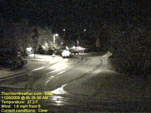
With only two days to go in the month, things were pretty bleak and we were dangerously close to joining the “top 10” for the least snowiest Novembers in Denver. That changed in pretty short order last night. Forecasters were expecting about an inch of snow but the local storm reports indicate most areas exceeded that handily.
Here in Thornton we started with a touch of rain in the evening which changed to snow as time went on and the temperature dropped. In the end we recorded 4.1″ of the white stuff, most of which fell between 10:00pm and midnight.
The National Weather Service in Denver is officially showing 2.4″ of snow at the old Stapleton International Airport site. At Denver International Airport they recorded 1.6″.
Some of the other snow reports that have come in (Updated @ 11:15am):
- Arvada – 2.4″
- Brighton – 1.5″
- Conifer – 2.5″
- Denver (north) – 1.5″
- Denver (Stapleton) – 3.2″
- Denver (DIA) – 1.7″
- Elizabeth – 3.2″
- Evergreen – 3.2″
- Erie – 4.5″
- Highlands Ranch – 3.0″
- Henderson – 3.0″
- Highlands Ranch – 4.5″
- Lakewood – 3.8″
- Lone Tree – 3.2″
- Parker – 1.8″
- Thornton – 4.1″
- Westminster – 2.2″
For other totals, please see our local storm reports page.
