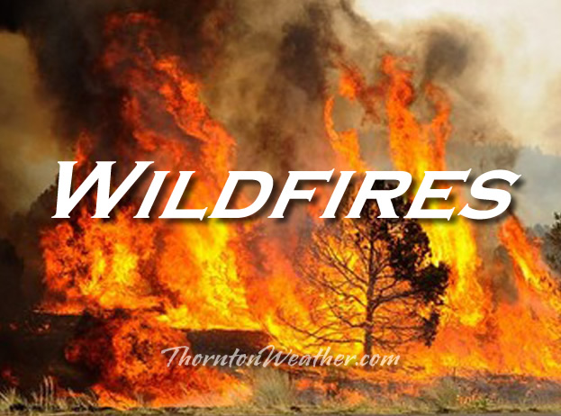
Wildfires are not strictly a weather-related threat. The weather does however play a significant role in starting fires and in the ability of firefighters to battle them.
From the National Weather Service:
PUBLIC INFORMATION STATEMENT
NATIONAL WEATHER SERVICE GRAND JUNCTION CO
500 PM MDT SAT JUNE 26 2021
Colorado Lightning Safety Week concludes today…with wildfires being the final topic.
During the past week we have presented lightning information and safety rules. Although wildfires are not an actual weather phenomenon…wildfires are directly related to lightning and other weather elements.
Normally…the wildfire threat in Colorado increases significantly after the middle of June and usually peaks in early July…and remains high through august and early September. Colorado averages about 2500 wildfires each year.
About half of all forest fires in Colorado are ignited by lightning. Additionally…many rangeland and wheat field fires are caused by lightning. Many of these lightning caused wildfires occur in the absence of rain and are the result of what is referred to as dry thunderstorms.
Lightning is often accompanied by strong winds from thunderstorms. These winds can quickly turn smoldering organic material into a raging fire. Thunderstorm winds tend to be erratic in direction and speed…posing one of the greatest dangers for firefighters.
Lightning that strikes the ground is usually divided into two categories…negative and positive strikes… Depending on the ionic source region of the thunderstorm. The negative strikes are far more common than positive strikes. The positive strikes are more intense and have a longer duration than the negative strikes and are more likely to ignite a fire. Lightning detection technology provides land managers and weather forecasters with the ability to identify the general location and charge category of each lightning strike.
National Weather Service forecasters help land managers and firefighters by producing fire weather zone forecasts on a daily basis. Spot fire weather forecasts are also provided for those who work on prescribed burns or specific wildfires. Forecasters also issue red flag warnings for use by land managers when the combination of dry vegetation and critical weather conditions will result in a high potential for the development and spread of
Wildfires. Land managers…in turn… Typically inform the general public of the fire danger in national parks…forests… And other public lands.
During periods of extreme fire danger in forests and rangelands…
- You should avoid being in areas where you might become trapped by a wildfire.
- You should avoid the use of matches or anything else which could ignite a fire.
- Make sure that hot parts of motorized equipment…such as mufflers…are not allowed to come in contact with dry grasses or other potentially flammable material.
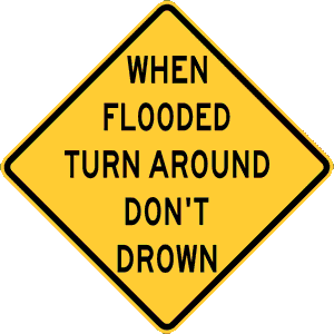
- If you become trapped or cut off by a wildfire seek shelter in areas with little or no fuel…such as rock slide areas or lakes.
For more information on wildfires and fire safety…please check out the following web addresses…
- http://fire.boi.noaa.gov
- http://www.nifc.gov
- http://dola.colordo.gov/dem/public_information/wildfire.htm
Lightning Safety and Wildfire Awareness Series:
- Lightning Safety and Wildfire Awareness Week Introduction
- Lightning and wildfire safety overview
- The science of thunderstorms and lightning
- Outdoor lightning safety – When thunder roars, go indoors
- Indoor lightning safety – Staying safe in your home or office
- When lightning strikes – Rendering aid and the lasting effects of a strike
- Lightning and wildfires – Hand in hand hazards
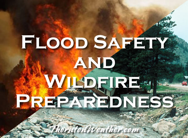
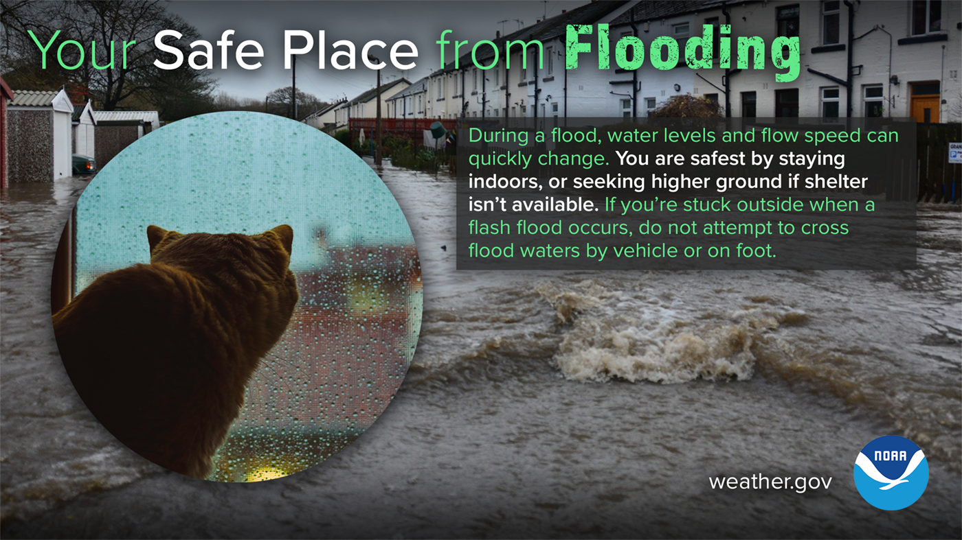
 Floods and wildfires are arguably the two most common disasters Coloradans face with numerous such events occurring each year. To better prepare residents for the danger of these disasters, this week is Colorado Flood Safety and Wildfire Preparedness Week.
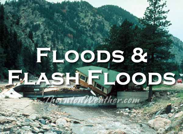 Floods and wildfires are arguably the two most common disasters Coloradans face with numerous such events occurring each year. To better prepare residents for the danger of these disasters, this week is Colorado Flood Safety and Wildfire Preparedness Week.