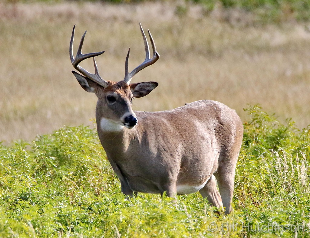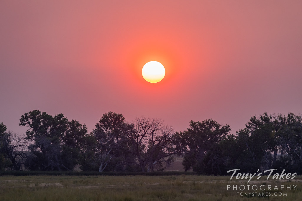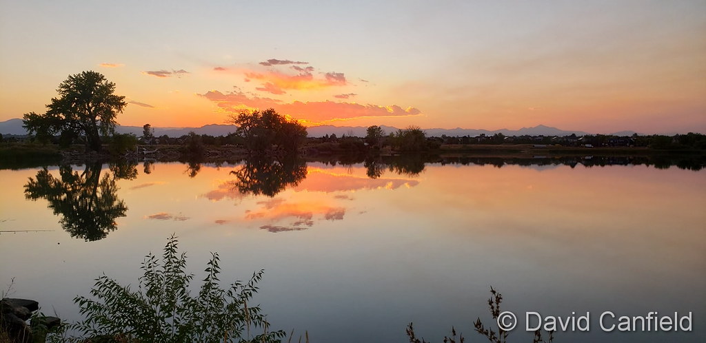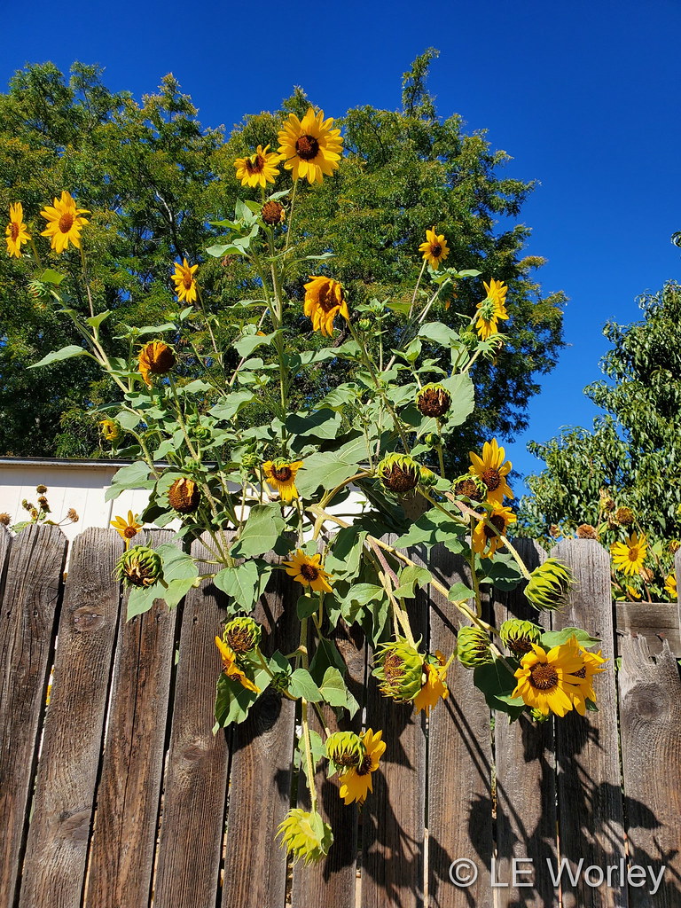
September 2020 top shots: Monthly photo slideshow

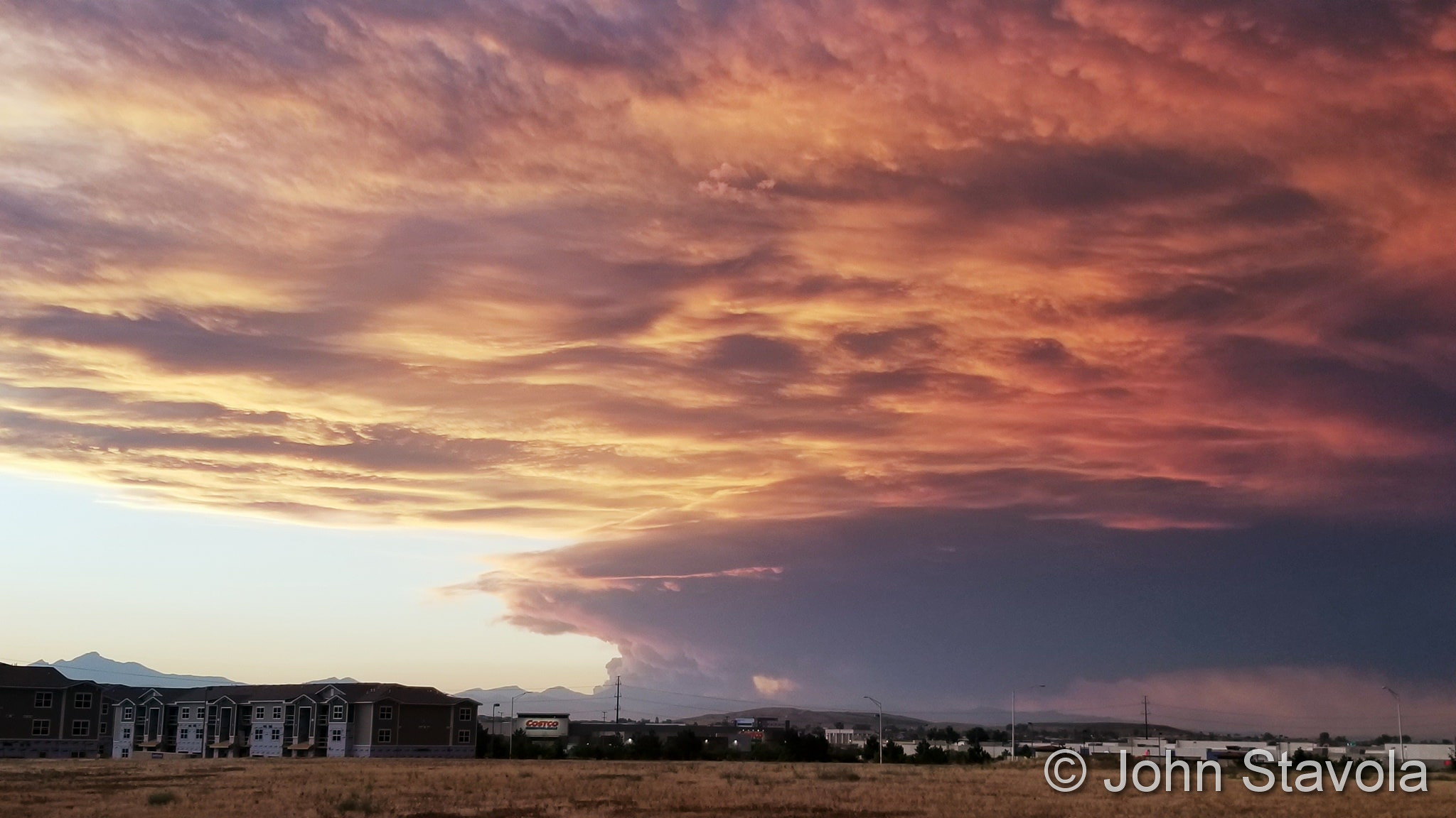
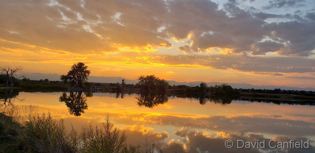
Smoke from the Cameron Peak Fire makes for a beautiful sunset. (John Stavola)

The month of September is typically one of the more pleasant months in Colorado.  Temperatures are usually comfortable and there is not normally a lot of weather drama.  That however does not mean there aren’t plenty of photo opportunities.

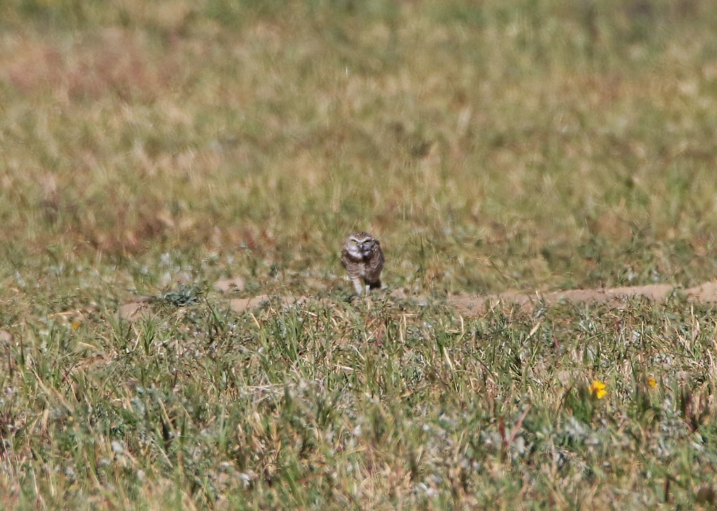
Wildlife is still quite active along the Front Range and flowers will hold on to their petals for at least the first part of the month.  Then of course there is the weather which you never know what to expect.  Thunderstorms, heavy rain, and even snow are a possibility.

  • Slideshow updated October 1, 2020
  • To learn more about how to send your photo to us for inclusion in the slideshow, see below the slideshow.

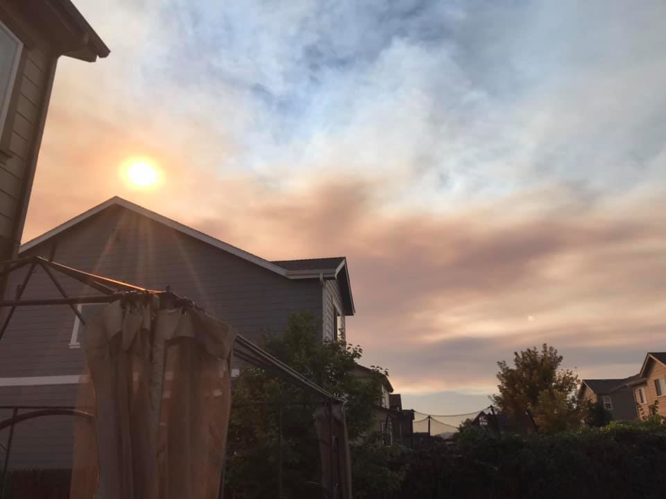
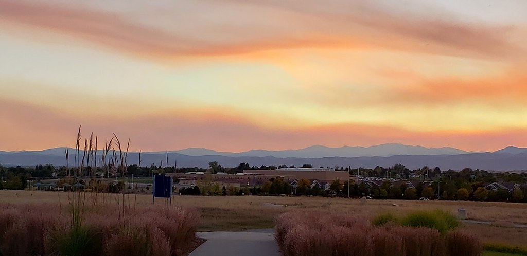
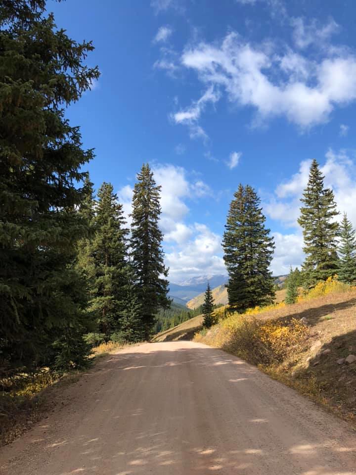
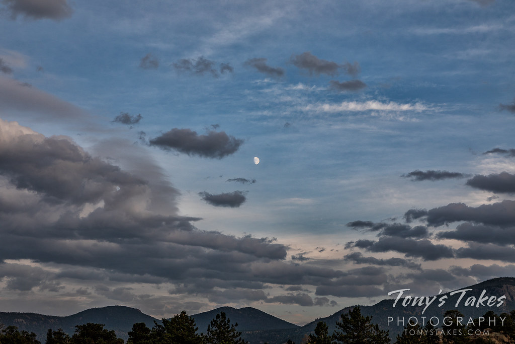
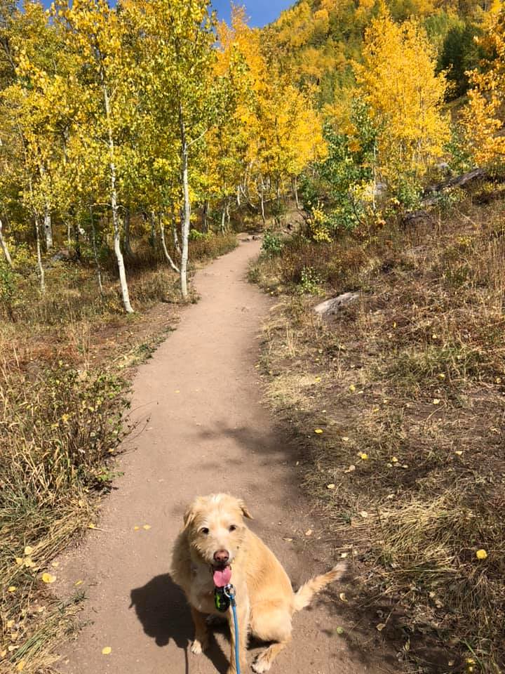
Showcasing images captured by ThorntonWeather.com readers as well as some of our own, our monthly slideshow covers the entire gamut of weather-related imagery.

Sunsets, sunrises, wildlife and of course every type of weather condition are vividly depicted in images captured from yours and our cameras.

What is missing in the slideshow above?  Your photo!

Our monthly photo slideshow is going to feature images that we have taken but more importantly images that you have captured.  The photos can be of anything even remotely weather-related.

Landscapes, current conditions, wildlife, pets, kids.  Whimsical, newsy, artsy.  Taken at the zoo, some other area attraction, a local park, a national park or your backyard.  You name it, we want to see and share it!

Images can be taken in Thornton, Denver or anywhere across the extraordinary Centennial State.  We’ll even take some from out of state if we can tie it to Colorado somehow.

We’ll keep the criteria very open to interpretation with just about any image eligible to be shown in our slideshows.

What do you win for having your image in our slideshow?  We are just a ‘mom and pop’ outfit and make no money from our site so we really don’t have the means to provide prizes.  However you will have our undying gratitude and the satisfaction that your images are shared on the most popular website in Thornton.

To share you images with us and get them included in the slideshow just email them to us or share them with ThorntonWeather.com on any of the various social media outlets.  Links are provided below.

So come on, get those camera’s rolling!

Fall colors 2020: When and where to go for leaf peeping

Rocky Mountain National Park is a prime spot for viewing the fall foliage. (Tony's Takes)
Rocky Mountain National Park is a prime spot for viewing the fall foliage. (Tony’s Takes)

This time of year many folks start thinking about heading to the hills west of Denver in search of gold – fall foliage gold.

Where to go?  Below are five of ThorntonWeather.com’s favorite ones near Denver – plus a few further out and some bonus ideas.  After that, we will tell you where you can find a great website that provides regular updates on viewing conditions.

I-70 Corridor – If you’re looking for the easiest route, then this one is for you.  Simply head west on I-70 about 110 miles to Avon.  Between Vail and Avon, both sides of I-70 are lined beautifully with aspen.

Rocky Mountain National Park – One of the most popular summer destinations in the state is of course also a prime spot to view aspen in all their glory.  Once in the park head toward Bear Lake.  Glacier Gorge Junction provides a beautiful spot and you of course also get to enjoy all the splendor that Rocky Mountain National Park has to offer.  Extend your viewing by taking Trail Ridge Road all the way through to the west side of the park and the Grand Lake and Granby area.

Peak to Peak Highway – This little road trip can be a dual purpose trip – gambling and fall foliage viewing!  Take U.S. 6 through Clear Creek Canyon and then 119 through Blackhawk and Central City.  You can of course stop there if your wallet is fat enough and donate some money to the casinos.  From there continue on 119 toward Nederland.  Take highway 72 toward Ward and Allenspark.  There you will find more golden aspen than you can imagine, all with the Continental Divide nearby.

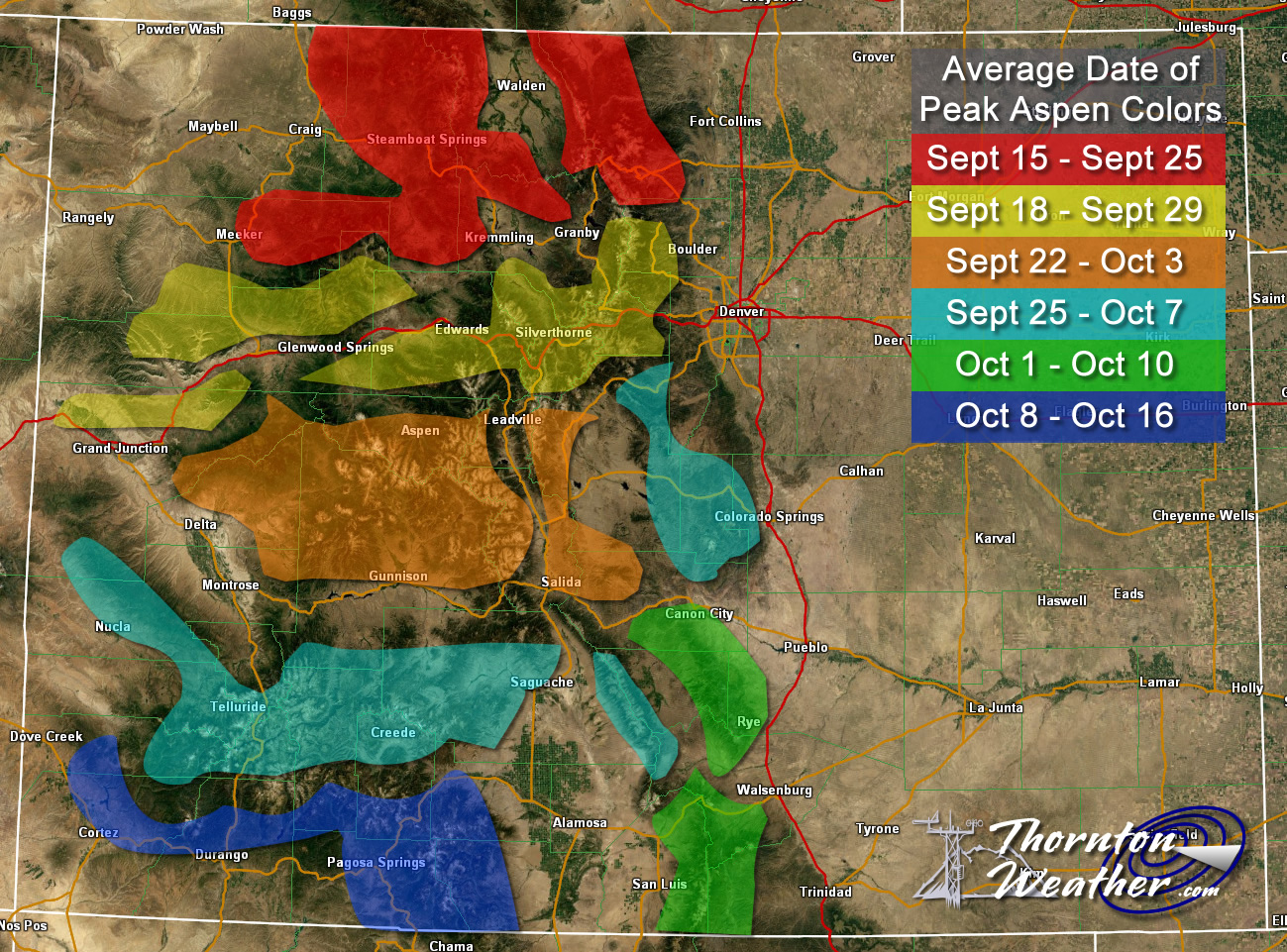
Colorado Fall Foliage - Average Date of Peak Aspen Colors. Click for larger view. (ThorntonWeather.com)
Colorado Fall Foliage – Average Date of Peak Aspen Colors. Click for larger view. (ThorntonWeather.com)

Poudre Valley Canyon –  Heading north on I-25 take Colorado 14 west and into Poudre Canyon and Roosevelt National Forest.  As you continue west you will come very near timberline as you come to Cameron Pass.  Amazing views abound!

Guanella Pass – This is a nice, relatively short drive from Denver.  From C470 take 85 through Bailey and Conifer, a nice drive unto itself.  When you come to the town of Grant, take the Guanella Pass Scenic and Historic Byway north to Georgetown.  The air is pretty thin along the way as you climb in excess of 11,500 views through the Pike and Arapahoe National Forests.

A couple other possibilities further from the Front Range:

Leadville / Aspen – From Denver take I-70 west to Copper Mountain and then Colorado 91 south over Freemont Pass to Leadville. Along the way there are plenty of viewing opportunities and Leadville is a nice little town to make a stop. From here you can take Highway 24 north back through Minturn and Vail. To extend the drive, take Highway 24 south to Colorado 82 and head toward Aspen. You can stop by the Maroon Bells in White River National Forest to view some of the most photographed mountains in Colorado.

Cottonwood Pass – From Denver take Highway 285 to Buena Vista. Head west on Main Street for seven miles then west on County Road 344 / Colorado 82. From there you start the climb up Cottonwood Pass with absolutely stunning views from the top. If you are up for it, you can continue down the west side of the pass into the Taylor Park area.

Honorable mentions worth considering:

  • Boreas Pass between Breckenridge and Como (County Road 10)
  • Kenosha Pass on Highway 285 between Bailey and Fairplay
  • Independence Pass (Colorado 82 between Aspen and Twin Lakes)
  • Colorado 103 from Evergreen to Echo Lake. Throw in a drive up Mount Evans for a bonus.

If you do head out, be sure to send us your pictures for inclusion in our monthly photo slideshows!

For more information:

September 27 to October 3: This week in Denver weather history

This Week in Denver Weather History

With the end of summer and the arrival of fall, looking back at Denver weather history we start to see more mentions of snow.  It is of course not the only notable weather event this time of year.  We still have received severe thunderstorms, damaging winds, and 90 degree plus heat.

From the National Weather Service:

From the 25th to the 27th:

in 1996…an early season snowstorm brought heavy snow to the Front Range eastern foothills.  Snowfall totals included:  8 to 12 inches around Conifer…7 inches on Floyd Hill…and 6 inches at both bailey and Chief Hosa. Snowfall totaled only 4.7 inches at the site of the former Stapleton International Airport.  This was the first measurable snow of the season.  After the passage of a strong cold front…north winds gusted to 38 mph at Denver International Airport on the 25th.

From the 26th to the 28th:

In 1936…the heaviest snowfall ever recorded in September and the heaviest snowfall ever recorded so early in the season dumped a total of 16.5 inches of snow on downtown Denver and 21.3 inches at Denver municipal airport.  The 15.0 inches of snow measured from 6:00 pm on the 27th to 6:00 pm on the 28th is the greatest 24 hour snowfall ever recorded in September.  This was the first snow of the season.  The snow was intermittent through the 26th…but continuous from early afternoon on the 27th to around midnight on the 28th…except for a period of rain during the afternoon of the 28th which contributed to a loss of depth on the ground.  The greatest snow depth on the ground downtown was 13 inches with 8 inches at Denver municipal airport.  There were no high winds with the storm and traffic was interrupted for only a short period.  The storm produced property damage estimated at 7 million dollars.  With trees and shrubs in full foliage…the leaves caught and held the heavy water-laden snow…until the branches snapped from the weight.  More than 3000 workmen were called to remove the debris and snow from the city.  The city firemen who were off duty…as well as all the reserves… Were asked to report to their stations.  All schools in the city remained open…but attendance was only 50 percent of normal.  Grade school students were sent home at noon on the 28th.  The early storm caught stockmen with many cattle still in higher ranges.  Warm weather followed the snow…which had all melted by the end of the month…except for a few inches in sheltered places.

On the 27th:

In 1877…smoke from heavy forest fires in the mountains spread over the city on upper wind currents.

In 1935…the first snow of the season was 2.8 inches in downtown Denver.  The low temperature dipped to 31 degrees for the first freeze of the season.

From the 27th to the 28th:

In 1984…heavy snow fell over the plains and foothills. Snowfall amounts ranged from 2 to 5 inches on the plains with up to a foot at higher elevations in the foothills. The main problem caused by the storm was thousands of power outages caused by snow-laden tree limbs snapping and falling onto power lines.  Over 15 thousand homes lost power in metro Denver.  Some cars were damaged by falling trees and limbs.  The snow also caused some flight delays at Stapleton International Airport where 5.1 inches of snow fell and northeast winds gusted to 29 mph.  Maximum snow depth on the ground was 3 inches due to melting.  The high temperature of only 34 degrees on the 28th was a record low maximum for the date and equaled the all-time record for the month at that time.

On the 28th:

In 1877…heavy dense smoke from mountain forest fires spread over the city.  The smoke was so dense that it obscured the sun at times.

In 1921…post-frontal northeast winds were sustained to 44 mph.

In 1953…a pacific cold front produced a west wind gust to 59 mph at Stapleton Airport where the visibility was briefly reduced to 3/4 miles in blowing dust.  Strong winds were also widespread over Boulder during the afternoon.

In 1960…strong…gusty winds tore the roof from 6 units of a motel on west Colfax Avenue in Denver.  The roofing sailed over the building and crashed down on a truck…wrecking it. The strong winds were the result of an apparent microburst.

In 1999…snow fell in the foothills west of metro Denver and over the plains.  Snowfall totals included 7 inches at Conifer.  At the site of the former Stapleton International Airport…3.1 inches of snow were measured.  This was the first snow of the season.  The heavy wet snow snapped branches from fully leafed trees…downing power lines and causing scattered outages.

In 2004…severe thunderstorms produced hail to 3/4 inch in diameter in Littleton and in Douglas County 14 miles northwest of Castle Rock.

In 2012…a weak tornado (ef-0) tornado touched down near Strasburg. No damage was reported.

From the 28th to the 29th:

In 1959…one of the heaviest September snow storms of record began as rain and changed to heavy wet snow.  The storm caused heavy damage to trees and shrubbery…which were still in full leaf.  The storm dumped 10.6 inches of snow at Stapleton Airport…the third heaviest September snow amount to date.  Falling trees and limbs disrupted traffic…broke power and communication lines…and damaged buildings and cars.  One man was killed in Denver by a falling tree limb…and four others died of heart attacks while shoveling snow or trying to move heavy tree limbs.  Direct costs of the storm for cleaning up debris…repairing utility lines…and damage to buildings and other property across all of eastern Colorado were estimated to be over a half million dollars.  The value of trees destroyed or damaged was estimated to exceed five million dollars.  North-northeast winds gusted to 32 mph at Stapleton Airport on the 28th.

In 1985…an unusually cold air mass for this time of year settled over the area.  Metro Denver received 8 to 12 inches of powdery snow.  The 8.7 inches of snow that fell at Stapleton International Airport was the first measurable snow of the season and the city’s heaviest September snowfall since 1971.  The snow caused flight delays of over 2 hours at Stapleton International Airport. I-70 was closed for a time west of Denver.  Snow-laden tree limbs snapped over all of metro Denver…causing widespread power outages.  Ten thousand people were without electricity for a time in Boulder.  The morning of the 29th saw mid-winter temperatures along the Front Range.  The temperature dipped to 17 degrees…the lowest temperature ever recorded in September in Denver.  The high temperature of only 29 degrees on the 29th was a new record low maximum for the date and lowest ever recorded during the month of September.  The low temperature of 21 degrees on the evening of the 28th set a new record low for the date.  The cold weather persisted through the 1st with record minimum temperatures of 25 degrees set on the 30th and 27 degrees set on October 1st.

On the 29th:

In 1966…a vigorous cold front moved thru metro Denver. North winds gusting to 51 mph kicked up billows of blowing dust…which briefly reduced the visibility to 1 mile at Stapleton International Airport.  The cold air caused temperatures to drop rapidly from a high of 86 degrees to a low of 46 degrees by days end.

In 1985…the lowest temperature ever recorded in September… 17 degrees…occurred.  The high temperature warmed to only 29 degrees…the all-time record low maximum for the month.

In 1994…the temperature reached a high of 91 degrees at Stapleton International Airport.  This was the 60th day of the year that the temperature had reached 90 degrees or more…establishing a new record at that time.  The previous record of 52 “90 degree days” occurred in 1978. Only 43 “90 degree days” were recorded at Denver International Airport during 1994.

In 1995…lightning struck a couple in Aurora as they were walking in the rain.  The bolt struck the umbrella the man was carrying…injuring both the man and his wife.

In 2000…late afternoon thunderstorms produced strong wind gusts to 76 mph in Westminster…to 69 mph near Boulder…and to 60 mph at Jefferson County airport near Broomfield.  No damage was reported.

In 2014…a storm system that moved through the area produced large hail and street flooding in parts of metro Denver and then spread east into the plains. The storm also caused multiple accidents. A semi became detached from a trailer… Blocking traffic on westbound Interstate 70 west of Tower Road. Downed power poles blocked a roadway on CO 79 near Bennett…at mile marker 10. In addition to the damaging winds…the storms produced large hail… From nickel to golfball size across southern and eastern portions of metro Denver. The hailstorm was the most damaging of the 2014 summer season…with insured losses that topped 213 million dollars. Insurance claims included 29297 automobile claims worth more than 87.2 million dollars and 14287 property claims for 126 million dollars…ranking the storm as the eighth most expensive to hit the state. At Denver International Airport…1.01 inches of rainfall was recorded which was the greatest 24-hr rainfall for the date. In addition…a peak wind gust to 38 mph was observed at the airport.

In 2015…severe thunderstorms developed over the foothills of Boulder County and Jefferson Counties…then moved south along the western suburbs of Denver. Areas north of Golden… around Lakewood and into northern Douglas County saw the heaviest rain and hail. The hail ranged in size from nickel to ping pong size.

On the 30th: Continue reading September 27 to October 3: This week in Denver weather history

Denver ties one cold weather temperature record for September 9, breaks another

As our first taste of wintry weather for the season comes to an end, we close it out with two more weather records in the books.

This morning, as measured at Denver International Airport, the temperature dropped to 31 degrees. This ties the Mile High City’s record low for September 9 set in 1962.

The daytime didn’t bring much relief as the high at the airport only reached 42 degrees. This shatters the old record low maximum for the date of 53 degrees set in 1989.

Here in Thornton, we matched both of those marks with a low of 31 degrees and a high of 42 degrees.

The past few days have seen an extraordinary bout of weather as we went from record heat to record cold. The graphic below shows just some of what has occurred.

Some of the weather records tied or broken in the first part of September 2020. Click for a larger view. (National Weather Service)

Denver ties two cold weather records for September 8, sees second earliest snow on record

Record Cold Temperatures

From record heat to record cold. You must live in Colorado. 😉  Today, Denver tied two cold weather records and saw its second earliest snow on record.

As measured at Denver International Airport, the low temperature in the Mile High City dropped to 31 degrees at 7:33pm. This ties the record low temperature for September 8 last set in 1962. Going hand-in-hand with that record, it tied the record for the earliest freeze in Denver history last set on the same date.

Here in Thornton, we managed to stay just a hair warmer with a low of 32 degrees.

Notable as well is that the Mile High City’s official 1.0 inch of snow is the second earliest snowfall on record. The snow was also the first September snowfall seen in 20 years. The number one spot for earliest snow on record, September 3, 1962, remains secure.

Denver sets record high minimum and ties record high for September 6

Record High Temperature

Our recent warm weather not only impacts daily high temperatures, it also impacts overnight lows as seen by the record set tonight.

As measured at Denver International Airport, the Mile High City saw a low of 67 degrees. This set a record high minimum for the date, beating the old mark of 66 degrees set in 1933.

Here in Thornton, we were quite a bit cooler seeing a low of 56 degrees.

Additionally, Denver’s official high temperature came in at 97 degrees. This tied the record high for September 6, last set in 2013. Thornton was actually hotter with a high of 99 degrees.

Multiple high temperature records broken on September 5

Record High Temperature

While snow and cold are on the horizon, that will wait and until then, we continue to experience extraordinarily warm weather. Today, September 5, Denver actually broke three records.

As measured at Denver International Airport, the high temperature topped out at 101 degrees. This easily bested the record high temperature for the date of 98 degrees set just last year.

Additionally, the 101 degree reading is the warmest temperature ever recorded in Denver during the month of September. Only one other time has it been 100 degrees or warmer in the month, that coming on September 2, 2019 with a 100 degree reading.

Lastly, this is the latest in the year a 100 degree or higher reading has been recorded.

Here in Thornton, we managed to stay just a bit cooler with a high of 99 degrees.

September snow in Denver is not entirely uncommon

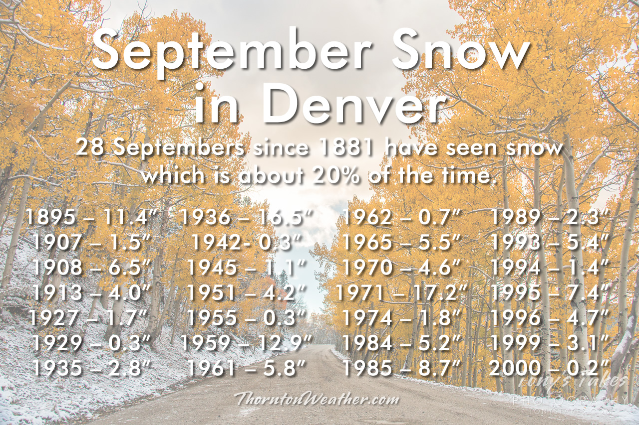
Denver September Snow History. (ThorntonWeather.com)
Denver September Snow History. Click for larger view. (ThorntonWeather.com)

There is lots of talk (and hype!) about next week’s storm and the potential for our first snowfall of the season. While it is somewhat unusual to get snow so early in the season, it is far from unprecedented and not near as rare as you might think.

Whipping out the weather history books, we see that snow has fallen in 28 Septembers in the 139 years since the National Weather Service began recording snow in the Mile High City. That equates to about 20% of the years.

It has, however, been quite a while since we have seen one, the most recent occurring in 2000. That was the last in a stretch in which six out of eight years saw September snow.

Our earliest snowfall on record came on September 3, 1961 when 4.2 inches of the white stuff fell. The average date of Denver’s first snow is October 18th.

Most concerning about these early season snows is the potential for tree damage and power outages. Like spring storms, early season snows are usually quite wet and heavy and have the potential to wreak havoc, even if there isn’t much to them.

Thornton’s September weather preview: Usually a calm, pleasant month

Following an August that was unseasonably warm and dry, we find ourselves heading into September hoping for relief.  The month can bring plenty of rain and even our first snow of the season but more often than not, it is one of the most pleasant along the Colorado Front Range.

As temperatures start to drop, September usually reminds us that summer is at an end and fall is now here. Sunshine is predominant though as the month actually has the highest percentage of sun out of any month. Sunny days and clear, cool nights are the standard weather pattern for the month.

The month can bring extremes however.  We will of course forever remember 2013’s devastating floods brought on by record-setting rain.  Longtime residents might remember September 1971 which brought over 17 inches of snowfall.

Get a complete look at September’s weather and more details as to what we can expect this year here.

August 2020 top shots: Monthly photo slideshow

Sunflowers at sunset near DIA. (Jessica Fey)

As the calendar turns to August, the summertime heat begins to fade and that makes it easier to get out and enjoy all of the outdoor activities Colorado has to offer.  From a walk in a park to afternoon thunderstorms to an abundance of wildlife, photo opportunities abound as is seen in our slideshow.

Our monsoon season typically arrives about now and that means better chances for moisture.  However with limited instability, the intensity of storms are more sedate.  That doesn’t mean however that the weather is any less photographic.

  • Slideshow updated August 27, 2020

By the end of the month some of our seasonal feathered friends will be looking to leave the state giving our last chance to see them till spring.  Larger mammals are gearing up for the rut (mating season) and that can make for some intense scenes.

Showcasing images captured by ThorntonWeather.com readers as well as some of our own, our monthly slideshow covers the entire gamut of weather and nature related imagery. Sunsets, sunrises, wildlife and of course every type of weather condition are vividly depicted.

To learn more about how to send your photo to us for inclusion in the slideshow, see below the slideshow.

[flickr_set id=”72157715425013148″]

What is missing in the slideshow above?  Your photo!

Our monthly photo slideshow is going to feature images that we have taken but more importantly images that you have captured.  The photos can be of anything even remotely weather-related.

Landscapes, current conditions, wildlife, pets, kids.  Whimsical, newsy, artsy.  Taken at the zoo, some other area attraction, a local park, a national park or your backyard.  You name it, we want to see and share it!

Images can be taken in Thornton, Denver or anywhere across the extraordinary Centennial State.  We’ll even take some from out of state if we can tie it to Colorado somehow.

We’ll keep the criteria very open to interpretation with just about any image eligible to be shown in our slideshows.

What do you win for having your image in our slideshow?  We are just a ‘mom and pop’ outfit and make no money from our site so we really don’t have the means to provide prizes.  However you will have our undying gratitude and the satisfaction that your images are shared on the most popular website in Thornton.

To share you images with us and get them included in the slideshow just email them to us or share them with ThorntonWeather.com on any of the various social media outlets.  Links are provided below.

So come on, get those camera’s rolling!

Weather, natural disasters & climate news and information.