
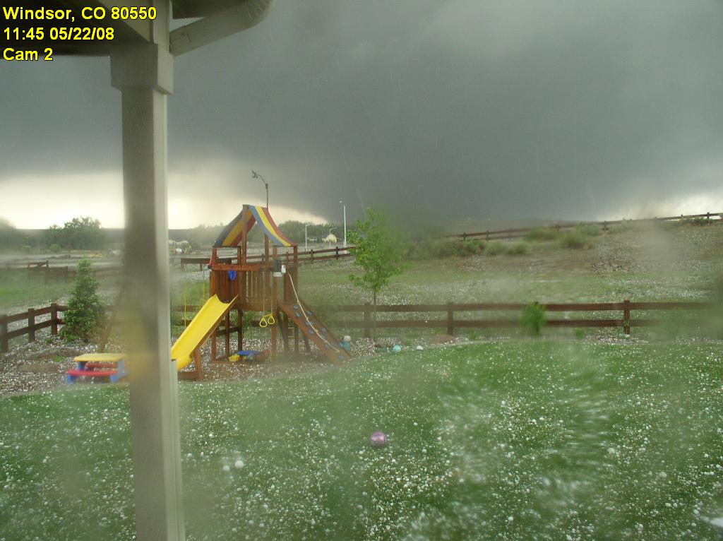
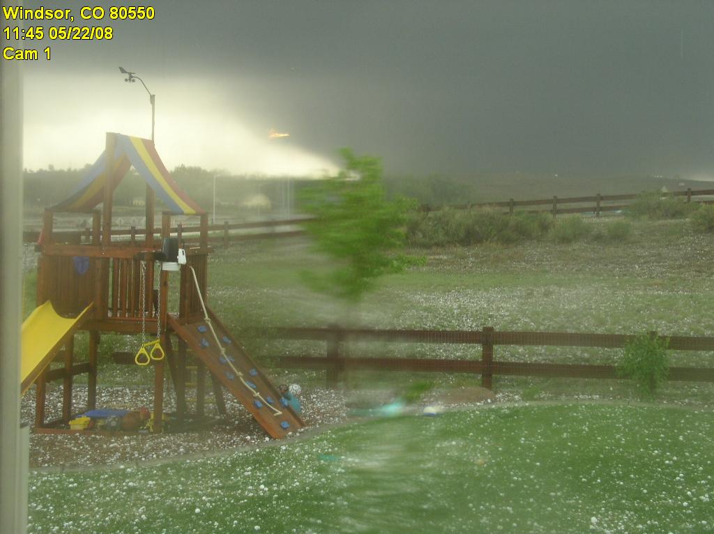
The National Weather Service has completed their tornado assessment of the Windsor tornado and determined the twister was rated an EF3 on the Enhanced Fujita scale. See below for details and here for a map of the path the twister took.
PUBLIC INFORMATION STATEMENT…UPDATED…
NATIONAL WEATHER SERVICE DENVER CO
430 PM MDT FRI JUN 6 2008
..WELD COUNTY TORNADO OF MAY 22 2008 RATED AN EF3 TORNADO…
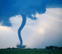
On Thursday May 22 2008 a wide and powerful tornado swept north northwestward for 34 miles from northeast of platteville in Weld County at 1126 AM MDT to 7 miles east northeast of Fort Collins in Larimer County at 1216pm MDT. The National Weather Service tornado damage assessments conducted on Friday May 23rd and Saturday May 24th documented large areas of damage. On the enhanced Fujita scale there were pockets of EF3 damage especially near the Missile Silo Park Campground west of Greeley and to homes and businesses in eastern Windsor. Wind estimates in the heavily damaged areas were as high as 130 to 150 mph.
The tornado was as wide as one mile at times along its path. There was one fatality and 15 to 20 injuries. Damage estimates are not finalized, but preliminary numbers from FEMA are 850 homes damage, with nearly 300 homes signficantly damged or destroyed. Privately insured damages total 174 million dollars…and the Poudre Valley Rural Electric Association reported one million dollars of damage to electric transmission facilities.
One question frequently asked is how unusual was this event. Certainly it was not unusual in time of year (May and June are the peak tornado months in Colorado). It was not unusual in location (more tornadoes are reported in Weld County than any other county). It was slightly earlier in the day than normal, as we usually see tornadoes in the mid afternoon to early evening. The track was longer than most, the tornado was moving fastern than most, and a track moving north northwest is very unsusual. Since 1950 there have been a total of 20 tornadoes of f3 and higher within Colorado. This was the second f3 tornado reported in weld county since 1950. On May 15, 1952 an F3 tornado injured 5 people within the county.
For reference…the Enhanced Fujita Scale classifies tornadoes into the following categories:
EF0…wind speeds 65 to 85 MPH.
EF1…wind speeds 86 to 110 mph.
EF2…wind speeds 111 to 135 mph.
EF3…wind speeds 136 to 165 mph.
EF4…wind speeds 166 to 200 mph.
EF5…wind speeds greater than 200 mph.

 The National Weather Service has

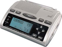
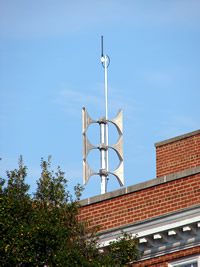 I was recently asked how prevelant tornado sirens are in the metro area and thought that would be a good discussion to have. Tornado and alert sirens do exist in some municipalities in the Denver metro area but not all. Boulder has a system (primarily due to flood dangers) as does the city of Denver itself. Many of the other suburbs however do not. Unfortunately, Thornton does not which to me is somewhat odd as in 1981 Thornton was struck by one of the few tornadoes to have hit the metro area so you would think that would have caused them to consider building a system back then. If you are reading this and live in another municipality, give them a call to find out if one is available in your area.

 Dear Friends and Family,
 After all of the drama earlier in the week, this Memorial Day weekend is shaping up to be pretty nice. Saturday there is a slight chance for thunderstorms in the afternoon along the Front Range but the threat is relatively minimal and we should reach a high of 73. Sunday looks to be the best day with sunny skies and a high of 77. Monday and into Tuesday though a passing low pressure system will result in an increased chance of showers and thunderstorms on both days. Those that are headed to the high country for some camping should be prepared for potentially cold conditions at night.