As we get further into spring the chances for severe weather increase greatly across northeastern Colorado and that is seen in our look back at this week in Denver weather history. We also note the dangers this weather presents as we see events where the weather injured and even killed Coloradans.
From the National Weather Service:
12-13
In 1907…the temperature warmed to a high of 73 degrees on the 12th…before a cold front produced a thunderstorm… Northeast winds sustained to 40 mph…and rain changing to light snow overnight. Snowfall totaled only 2 inches…but the high temperature on the 13th was only 39 degrees.
In 1961…a storm that covered metro Denver with rain and snow started as thunderstorms on the evening of the 12th. Hail to 1 1/2 inches in diameter was reported 10 miles northwest of Stapleton Airport. Rain continued overnight and changed to snow on the 13th. Snowfall totaled 6.4 inches and precipitation (rain and melted snow) 1.96 inches at Stapleton Airport where north winds gusted to 39 mph. The rain and heavy wet snow caused icing damage to utility lines. Heavy snow occurred in the foothills.
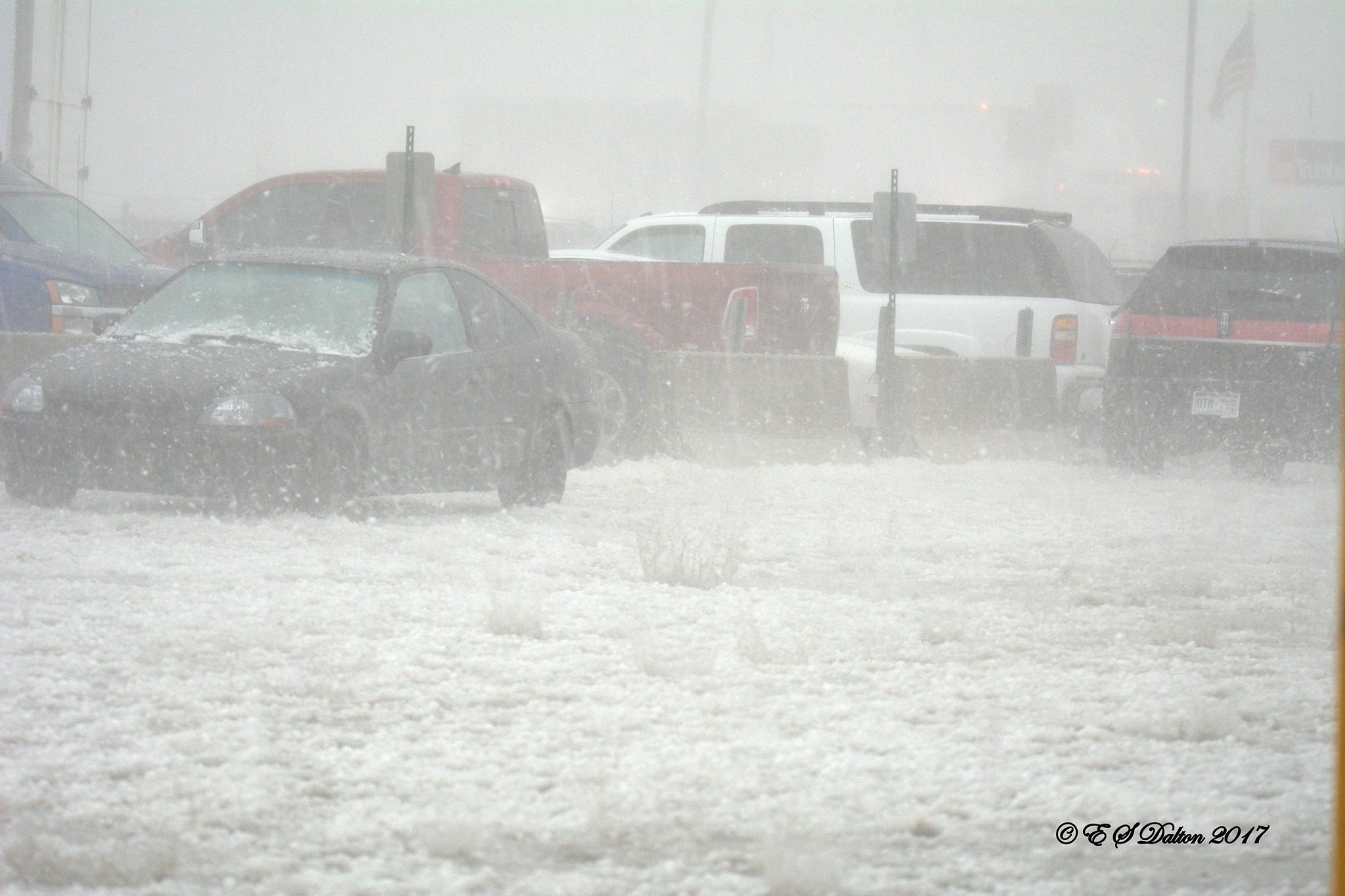
In 1982…a major storm dumped 1.50 to 3.50 inches of rain across northeast Colorado and deposited prodigious amounts of snow in the foothills. Coal Creek Canyon southwest of Boulder was buried under 46 inches of snow with 39 inches at Nederland. The heavy wet snow downed many power lines in the foothills. In Thornton…the roof of a school was damaged by water from the heavy rain. At Stapleton International Airport…1.49 inches of rain were measured over the two day period. The heavy rain ended a severe and prolonged drought.
In 2004…a winter storm produced heavy snow in excess of a foot in the foothills above 6 thousand feet while heavy rain fell across the city. The heaviest snow occurred in the high country of Boulder County. Storm total snowfall was 14.5 inches near Jamestown. Rainfall totaled 0.81 inch at Denver International Airport with 0.94 inch recorded at Denver Stapleton. A trace of snow was recorded at both locations. East winds gusted to 24 mph at Denver International Airport on the 12th.
13
In 1905…a thunderstorm produced hail during the late afternoon. Precipitation totaled 0.57 inch.
13-14
In 1912…heavy snowfall totaled 12.4 inches over the city. Most of the snow…9.9 inches…fell on the 13th…which was the greatest 24 hour snowfall in May at the time. This was the last snowfall of the season. The low temperature dipped to 27 degrees on the morning of the 14th.
In 1989…a spring storm brought heavy rain and snow to the foothills. Metro Denver was soaked with 1 to 2 inches of rain. Rainfall totaled 1.26 inches at Stapleton International Airport. In the foothills…Echo Lake received 20 inches of snow. A 30-ton Boulder slid onto I-70 east of the Eisenhower Tunnel…closing the freeway for 2 hours.
14
In 1910…a thunderstorm produced strong winds during the afternoon. Northwest winds were sustained to 42 mph.
In 1913…light moist snow and light hail fell during short intervals…although no thunder was heard. The trace of snowfall was the only snow of the month. Precipitation… Mostly rain…totaled 0.44 inch.
In 1984…a pilot reported a tornado 16 miles east of Stapleton International Airport. No damage was reported. A thunderstorm produced a 58 mph wind gust in Brighton. Thunderstorm winds gusted to 48 mph at Stapleton International Airport.
In 1989…lightning struck a home in Evergreen…setting it afire.
In 1992…strong thunderstorm winds of unknown velocity… Knocked over and damaged the infield tote board at Arapahoe Park Racetrack just southeast of Aurora. Damage was estimated at 200 thousand dollars. No injuries were reported. Lightning started two house fires…causing 35 hundred dollars in damage in Adams County just 9 miles north-northwest of Denver.
In 1994…a sudden wind gust…estimated at 40 mph…blew a portion of the roof off a shopping center in Lafayette. The roof also damaged two parked cars in an adjacent lot.
In 2001…a construction worker in Castle Rock received minor injuries when lightning struck close-by.
In 2002…a microburst wind gust to 53 mph was recorded at Denver International Airport.
In 2007…severe thunderstorms producing large hail…very heavy rain…and tornadoes impacted the urban corridor and adjacent plains. Heavy rain associated with a severe thunderstorm caused flooding along a small tributary draining into the South Platte River. The incident took place at 13th and Decatur St….near Invesco Field. The floodwaters inundated the bike trail adjacent to the creek. A woman with her child sought refuge under a bridge and became trapped by the high water. The woman slipped and the stroller containing the child was swept into the swift current. The child drowned. Rainfall totaled 0.42 inches at Denver International Airport. Elsewhere…golf ball hail was reported near Hudson. Hail…up to one inch in diameter…was observed in Boulder and Lyons. Thunderstorm wind gusts estimated to 70 mph were reported near Buckley Air Force Base…with a peak wind gust to 37 mph observed at Denver International Airport. A small tornado touched down near Ft. Lupton but did no damage.
14-15
In 1977…high winds up to 100 mph felled hundreds of trees in Gilpin County and caused extensive damage to telephone and power lines. Lumber and steel tanks were blown around in Boulder canyon. West winds gusted to 46 mph at Stapleton International Airport on the 15th.
14-18
In 1996…a period of unusually warm weather resulted in 4 record maximum temperatures in 5 days. The record high temperatures were 87 degrees on the 14th…89 degrees on the 15th…and 93 degrees on both the 16th and 18th. The temperature climbed to only 81 degrees on the 17th which was not a record.
15
In 1894…southwest winds were sustained to 38 mph with gusts to 50 mph.
In 1910…an apparent cold front produced sustained northeast winds to 48 mph.
In 1986…a thunderstorm dumped an inch of rain in an hour over the eastern part of Aurora. Total rainfall from the storm was 1.62 inches.
In 1989…a 47 year old man…a Lakewood police officer…was struck and injured by lightning. Small hail piled up 3 to 4 inches deep near Golden. There was reported street flooding from heavy thunderstorm rains over western metro Denver. Rainfall totaled 0.76 inch at Stapleton International Airport.
In 1990…a thunderstorm produced a wind gust to 69 mph at Jefferson County Airport in Broomfield. Thunderstorm winds gusting to 49 mph at Stapleton International Airport produced some blowing dust.
In 1991…a funnel cloud was sighted near Morrison. Later… Hail up to 2 inches deep covered U.S. Highway 285 at South Turkey Creek Road in west metro Denver. Baseball size hail was reported on the east side of Littleton. Dime size hail was reported in Boulder.
In 1993…lightning started a fire which damaged a home in Boulder. No one was injured.
In 1997…a wind gust to 58 mph was recorded at the site of the former Stapleton International Airport. A street sign was blown down at the Havana Street exit along I-70.
In 1999…lightning ignited a small fire in a 3-story structure in sunshine canyon above Boulder. The fire was quickly extinguished and caused only minor damage.
In 2003…thunderstorms produced very heavy rainfall and localized flash flooding in the foothills of central Boulder County. Rainfall ranged from 1.5 to 2.5 inches in less than 2 hours. Water ranging in depth from 6 to 9 inches covered State Highway 119 in Boulder Canyon. Dirt and rocks also washed over the roadway. Some basements were flooded in the sugarloaf area. Rockslides were also reported at Boulder falls…Lefthand Canyon…and Fourmile Canyon.
15-16
In 1957…heavy snowfall totaled 8.8 inches at Stapleton Airport. The greatest amount on the ground was 3 inches.
In 1986…a spring storm dumped 1 to 2 inches of rain over metro Denver…but 2.71 inches fell at Buckley Field in Aurora. Rainfall only totaled 0.84 inch at Stapleton International Airport. Snow fell in the foothills with 7 inches recorded in Coal Creek Canyon southwest of Boulder.
16
In 1875…a heavy hail storm turned into heavy rain during the afternoon. Rainfall totaled 0.86 inch in just 37 minutes…while the temperature dropped 22 degrees in 22 minutes. Precipitation totaled 0.90 inch.
In 1894…west winds were sustained to 48 mph with gusts to 56 mph.
In 1949…a tornado was observed for 16 minutes…20 miles to the southeast of Stapleton Airport. The tornado moved 5 miles to the northeast before dissipating. No damage was reported.
In 1963…intense lightning started several forest fires in the foothills southwest of Denver near Deckers and Cheeseman Lake. Little precipitation fell from the storms to alleviate the unusual dry conditions so early in the season.
In 1978…thunderstorm winds caused damage in southeast Aurora. Winds of 60 to 80 mph blew down numerous fences and damaged several homes under construction. High winds tore docks loose at Cheery Creek Reservoir…sinking 3 or 4 boats and damaging about 15 others. At Stapleton International Airport where winds gusted to 60 mph…a 727 jet suffered 15 hundred dollars damage when wind toppled a runway light onto it. The public reported an unconfirmed tornado 7 miles south-southwest of Stapleton International Airport.
In 1990…a line of thunderstorms moving across metro Denver uprooted a large ash tree…which fell and blocked the outside doors to a Denver elementary school…briefly trapping the students inside. Thunderstorm wind gusts to 69 mph were reported at Jefferson County Airport. Northwest winds gusted to 44 mph at Stapleton International Airport.
In 1991…two tornadoes touched down briefly in Castle Rock… But no injuries or damage were recorded. Heavy thunderstorm rains of 0.50 to 1.10 inches in a couple of hours caused Lena Gulch near Golden to flood. No damage was reported.
In 1996…dry microburst winds of unknown strength overturned a trailer and damaged storage sheds in Strasburg east of Denver.
Continue reading May 13 to May 19: This week in Denver weather history