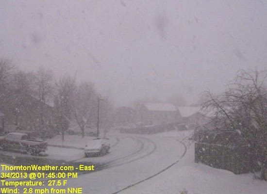
Perhaps we could call it the ‘Daylight Savings Storm of 2013’ or some other lame name like the Weather Channel uses. Then again, we will stick with simply calling yesterday’s snowstorm a late winter storm that brought much-needed precipitation.
Leading up to yesterday’s storm all indicators were there for a significant shot of snow. Forecasts varied a bit from outlet to outlet and some were disappointed that we didn’t receive as much as some forecasts said. However within range with our forecasts for Thornton.
Snow began falling during the 4:00am hour on Saturday, March 9 and would continue for nearly 12 hours. It was the first six hours that the most accumulation was recorded. After that relatively warm temperatures and warm ground melted the snow as fast – and faster – than it was falling.
The one benefit of the fast melting is that Denver metro area roads never really became all that bad. The story was quite different on the plains to the east where blowing snow prompted the closure of Interstate 70 for 24 hours or so. Denver International Airport (DIA) did have more than 600 flights cancelled.
At its highest we recorded 5.6 inches of snow on the ground. More than that certainly fell but the melting was taking its toll. This brings Thornton’s seasonal snowfall total to 34.5 inches.
Officially Denver recorded 5.4 inches as measured at Denver International Airport. The Mile High City’s seasonal total is now at 38.5 inches.
Best of all the heavy, wet snow contained a great deal of liquid precipitation. Thornton saw 0.48 inch of precipitation and Denver 0.27 inch. As parched as our landscape has been this winter this is very welcome.
Below is a time lapse video from our east webcam of the storm from start to finish – 14 hours in 28 seconds. Scroll down below that for an interactive map of snowfall totals from across northeastern Colorado.
