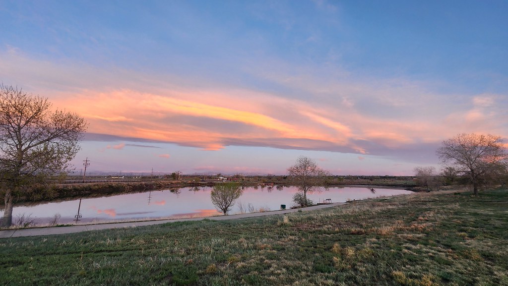
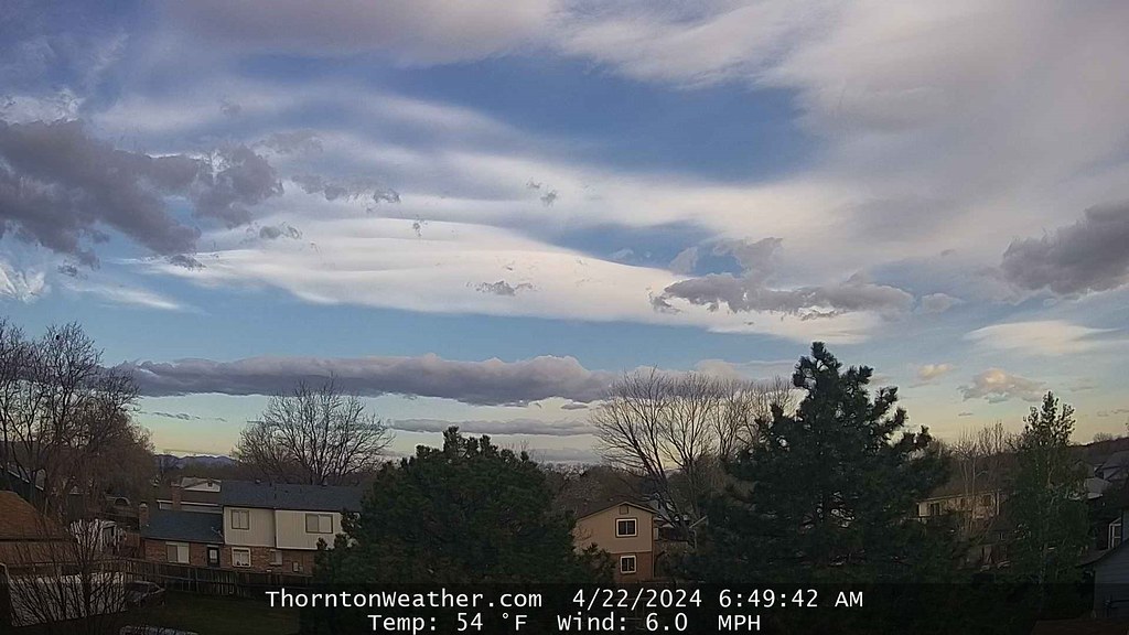
As we begin to enter the month of May, Denver’s weather starts to make the move toward spring severe weather and snow becomes less common. Looking back at this week in Denver weather history, there has been some snow but lightning and hail are more typical of the types of extreme weather we would expect to see.
From the National Weather Service:
27-28
In 1919…rainfall totaled 2.03 inches for the two days… Along with a trace of snowfall. Northwest winds were sustained to 24 mph with gusts to 26 mph on the 27th.
In 1975…high winds gusting to 85 mph severely damaged a mobile home in Boulder and caused other minor damage. West winds gusted to 46 mph at Stapleton International Airport on the 28th.
In 1996…heavy snow fell over portions of the Front Range foothills west of Denver. Snowfall amounts ranged from 4 to 7 inches. Only 0.3 inch of snow fell at the site of the former Stapleton International Airport. North winds gusted to 41 mph at Denver International Airport on the 27th.
28
In 1894…southwest winds were sustained to 35 mph with gusts as high as 60 mph.
In 1896…apparent post-frontal bora winds from the northwest were sustained to 43 mph with gusts as high as 56 mph. Rainfall totaled 0.22 inch.
In 1990…high winds raked the northeastern plains and eastern foothills from Boulder north. Wind gusts to 70 mph were recorded in Boulder. West winds gusted to 41 mph at Stapleton International Airport.
In 2001…a 21-year-old man was struck by lightning along the shoulder of I-225 near Parker road. His brother’s car had broken down and he stopped to help. The bolt briefly stopped the man’s heart and caused the right side of his body to go numb.
In 2003…severe thunderstorms produced large hail across southern metro Denver. Hail to 1 3/4 inches in diameter fell in Englewood and 2 miles east of Centennial Airport. Hail as large as 1 1/2 inches in diameter fell in Aurora near Cherry Creek. Other large hail reports included 1 inch hail near Bennett…and 7/8 inch hail in greenwood village and at centennial airport.
28-29
In 1950…snowfall totaled 6.3 inches at Stapleton Airport…but only 3.5 inches over downtown Denver.
In 1960…heavy snow fell at Stapleton Airport where 8.6 inches of snow were measured. North winds gusted to 38 mph. Most of the snow…6.9 inches…fell on the 29th.
In 2017…a late spring storm brought heavy snow to areas in and near the Front Range Foothills and Palmer Divide. Storm totals included: 25 inches near Genesee…19 inches at Evergreen…18 inches near Nederland…16.5 inches near Idledale…16 inches near Pinecliffe…15 inches at Kittredge…14 inches at Ken Caryl and near Roxborough State Park…12.5 inches near Elizabeth…12 inches in Eldorado Springs…11 inches near Brookvale and 12 miles northwest of Golden…with 10.5 inches at Lone Tree. Heavier snow occurred over the western and southern suburbs of Denver. Storm totals included: 10 inches in Littleton…8 inches at Centennial…3 miles southeast of Denver and near Greenwood Village…7 inches near Wheat Ridge…6 inches in Arvada and Castle Pines…with 5 inches in Boulder. Across the northern part of Denver…lesser amounts of 1 to 4 inches were reported. At Denver International Airport…2.4 inches of snowfall was observed.
29
In 1898…apparent thunderstorm winds were sustained from the southwest to 58 mph with gusts to 66 mph.
In 1909…north winds were sustained to 44 mph behind an apparent cold front. These were the strongest measured winds of the month that year.
In 1962…heavy snowfall totaled 6.4 inches at Stapleton Airport where northeast winds gusted to only 17 mph. Snow fell all day…but the most on the ground was only 1 inch due to melting.
In 1991…two men were struck by lightning while golfing in Cherry Hills just south of Denver. The two received only minor burns. Shortly afterward…lightning struck a home in cherry hills village several times…leaving numerous holes in the roof. No injuries were reported.
In 1993…localized strong winds occurred at Jefferson County Airport near Broomfield where gusts to 63 mph were recorded. The strong winds were the result of a probable microburst.
In 2000…several severe thunderstorms producing large hail and destructive winds rumbled across northern metro Denver. Thunderstorm wind gusts reached 81 mph near Hudson with hail as large as 3/4 inch in diameter at Longmont. Several homes and vehicles sustained damage. The strong winds uprooted trees and downed utility poles…causing scattered outages. Lightning sparked a house fire in Boulder. The fire damaged a portion of the roof and a bedroom on the third floor. Thunderstorm winds gusted to 53 mph at Denver International Airport.
In 2003…lightning struck a chimney at a residence in Hiwan in Evergreen…sending stones flying as far as 150 feet. Electrical equipment in some nearby homes also failed. Damage to the residence…in addition to electrical equipment…was estimated at 100 thousand dollars. Severe thunderstorms produced large hail to 1 inch in diameter near Hudson and Sedalia and to 3/4 inch near Parker. Hail as large as 1 3/4 inches was measured 9 miles north of Sedalia.
In 2014…high winds occured east of Interstate 25. Peak wind gusts included: 71 mph just north of Strasburg; 68 mph at Denver International Airport; 62 mph near Elizabeth; 58 mph at Front Range Airport in Watkins and 11 miles east of Parker.
29-30
In 1964…several weeks of dry weather and windy conditions across the Great Plains to the east caused noticeable suspended dust to invade metro Denver. At Stapleton International Airport east winds gusted to 28 mph and visibility was reduced to 5 miles.
In 1989…a late season snowstorm dropped 2 to 4 inches of snow across metro Denver with 6 to 12 inches in the foothills. Snowfall totaled 3.9 inches at Stapleton International Airport where northeast winds gusted to 23 mph and the greatest snow depth on the ground was 2 inches due to melting.
In 1991…a pacific storm dumped heavy wet snow across metro Denver. The foothills were hit the hardest where snowfall amounts ranged from 16 inches at Evergreen to 5 inches at Idaho Springs. Lower elevations of metro Denver received 5 to 9 inches of snowfall with 5 inches in Boulder and 7.0 inches at Stapleton International Airport where northeast winds gusted to 25 mph. The weight of the snow caused power lines to fall and tree limbs to snap…producing power outages in parts of Denver…Aurora…and Westminster.
In 1999…heavy snow fell overnight in the foothills above 7500 feet elevation. Snowfall totals included: 13 inches near Rollinsville…10 inches near Evergreen…8 inches at Blackhawk and Nederland…and 7 inches at Conifer. Only rain fell across the city with 2.13 inches recorded at Denver International Airport.
29-2
In 1954…a major storm dumped 10.1 inches of snowfall at Stapleton Airport. Most of the snow…7.5 inches…fell on the 29th and 30th. The maximum snow depth on the ground was 5 inches on the 30th due to melting. No strong winds accompanied the storm.
30
In 1896…northwest winds were sustained to 55 mph with gusts as high as 64 mph in the city.
In 1960…the minimum temperature dipped to 22 degrees at Stapleton Airport. The sub-freezing cold damaged fruit trees and some other crops in the area.
In 1967…west winds gusted to 51 mph at Stapleton International Airport. Winds were strong and gusty across all of metro Denver.
In 1972…hail 1/2 to 3/4 inches in diameter fell at Stapleton International Airport. Northwest winds gusted to 35 mph.
In 1980…a cold air funnel touched down several times near Louisville.
In 1983…mothball-size hail fell in Wheat Ridge.
In 1992…the all-time highest recorded temperature in April… 90 degrees…occurred. This is also the earliest 90 degree reading for the season.
In addition…the temperature dipped to a low of only 56 degrees…setting a record high minimum for the date.
In 1995…hail…up to 3/4 inch in diameter…fell at Denver International Airport. The hail was soft…lasted for only 8 to 10 minutes…and caused no damage.
In 2002…drought conditions started to have an effect on greater metro Denver. April…normally the third snowiest month of the year in Denver averaging just over 9 inches of snow…ended with only a trace of snow…ranking the month… Along with previous Aprils…the 2nd least snowiest on record. The month ended with only 0.23 inch of liquid precipitation making the month the 3rd driest on record. Mountain snowpack was less than half of normal for this time of year. A statewide drought emergency was declared by the governor.
In 2003…a small tornado touched down 10 miles east of Hudson… But did no damage. Hail as large as 3/4 inch in diameter fell in Aurora near Cherry Creek.
In 2004…post-frontal upslope flow produced light snowfall across metro Denver. Snowfall was 4.0 inches at Denver Stapleton…while the temperature hovered in the lower 30’s all day. The high temperature was only 33 degrees…a record low maximum for the date. The low temperature of 30 degrees was not a record. North winds gusted to 20 mph at Denver International Airport.
Continue reading April 28 to May 4: This Week in Denver Weather History →