As we get further into spring our look back at Denver weather history begins to show more typical severe weather. This week in Denver weather history we see plenty of hail, heavy rainfall, a tornado or two and lightning that caused serious injuries.
8-9
In 1957…intense heavy rain caused flash flooding on toll gate creek in Aurora where 3 people were killed in a car. Up to 4 inches of rain fell in 5 hours in the Toll Gate Creek basin. The rain also caused flash flooding on Sand Creek in Aurora and Denver. Rainfall totaled 3.29 inches at Stapleton Airport with most of the rain…2.34 inches… Occurring on the 9th.
8-10
In 1979…4.3 inches of snow fell at Stapleton International Airport where northwest winds gusted to 30 mph on the 8th. Most of the snowfall…2.3 inches…occurred on the 9th. High temperature of only 35 degrees on the 9th equaled the record low maximum for the date.
9
In 1875…a heavy windstorm swept across the city for most of the day. West-northwest winds averaged a sustained speed of 31 mph between 6:00 am and 3:00 pm. The peak wind was sustained to 45 mph at 9:50 am.
In 1918…post-frontal winds were sustained to 40 mph with gusts as high as 43 mph. Only a trace of rain fell.
In 1941…a tornado was noted at 2:20 pm to the northeast of downtown and was followed by another similar shaped cloud or dust roll estimated 3 miles behind. Thick dust followed with heavy gusts of wind. The temperature fell 15 degrees in 10 minutes following the twister. The mild tornado did little damage except to unprotected frame structures. Winds were sustained to 50 mph with the passing of the tornado at Stapleton Airport. It was visible to observers for 10 minutes and was lost from sight as it traveled east into huge rolls of dust. Hail and rain followed with a few hailstones as large as 1/2 inch in diameter downtown. No damage was reported from the hail. Thunderstorm winds sustained to 31 mph produced blowing dust downtown. Precipitation was only 0.07 inch.
In 1983…streams swollen by recent rain and snowmelt caused an earthen dam to collapse…washing out portions of State Highway 67 near Deckers in southern Douglas County.
In 1992…three boys…ages 11…12…and 16…were struck by lightning while taking cover under a large tree during a thunderstorm in Jefferson County…just 7 miles northwest of Denver. The three were seriously injured.
9-10
In 1889…heavy rainfall totaled 2.15 inches in downtown Denver. The cold rain was mixed with snow at times overnight. Temperatures on the 10th ranged from a high of 38 degrees to a low of 32 degrees with north winds sustained to 22 mph.
In 2003…a late spring snowstorm hammered the mountains… Eastern foothills…and urban corridor. The heaviest snowfall occurred north of interstate 70. The heavy wet snow caused damage to trees throughout metro Denver and downed power lines. About 40 thousand people along the urban corridor were without power. Storm total snowfall amounts included: 11.5 inches in Louisville… 8 inches in Boulder and Broomfield; 7 inches in Thornton…Broomfield…at Denver International Airport… And at the site of the former Stapleton International Airport; and 6 inches 4 miles east of Denver. Snowfall ranged from 4 to 9 inches across extreme southern weld County. In the foothills…15 inches of snow fell near Jamestown…9 inches at Rollinsville and Rawah…with 8 inches at Chief Hosa and atop Lookout Mountain. The snow was accompanied by thunder on the afternoon of the 9th at Denver International Airport where west winds gusted to 25 mph on the 9th and north winds gusted to 22 mph on the 10th.
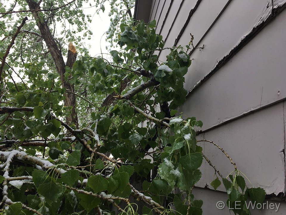
In 2015…from the 9th to the 10th…a strong storm system brought heavy snow to areas in and around Denver. Moderate to heavy rain showers transitioned over to snow by early in the evening on the 9th. Heavy wet snow overnight caused many trees to break under the pressure of the sudden weight. Tree damage ranged from minor to significant…with old growth trees losing large limbs and new trees sustaining fatal damage. Power outages affected about 43350 Xcel Energy customers in metro Denver. The Intermountain Rural Electric Association also reported about 1000 power outages in the Strasburg areas. In the high country…CDOT shut down Interstate 70 between the Eisenhower Tunnel and Silverthorne due to multiple crashes.
10
In 1875…a windstorm sand-blasted the city from 10:00 am until midnight. Northwest winds sustained to 60 mph brought clouds of sand…which caused high damage to unfinished buildings.
In 1912…a vigorous cold front produced strong north winds and rain. North winds were sustained to 48 mph with gusts as high as 60 mph. Rainfall totaled 1.10 inch.
In 1935…no precipitation occurred…making this one of only two days without precipitation during the entire month. The other day was the 21st. Precipitation totaled 4.95 inches for the month.
In 1956…northwest winds gusted to 53 mph at Stapleton Airport where the visibility was briefly reduced to 1/2 mile in blowing dust.
In 1974…strong winds caused 30 thousand dollars in damage to a building under construction in Lakewood. Microburst winds gusted to 46 mph at Stapleton International Airport.
In 1988…lightning struck a house in Boulder…setting it afire. The house…valued at 170 thousand dollars…was a total loss.
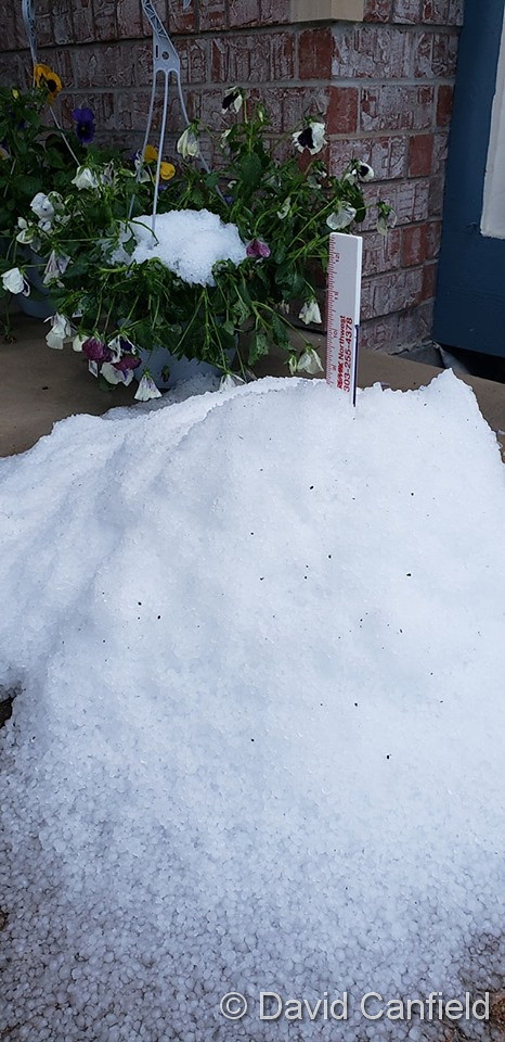
In 1989…golf ball size hail fell over southeast Denver near the junction of I-25 and I-225. Hail to 3/4 inch in diameter fell over southeast Aurora. Only 3/8 inch hail fell at Stapleton International Airport.
In 1991…high winds up to 63 mph raked the eastern foothills. Winds estimated to 50 mph tore a roof from a home in Lafayette. A tower at Jefferson County stadium in west metro Denver was blown over by the high winds. No injuries were reported. Southeast winds gusting to 48 mph at Stapleton International Airport produced some blowing dust. The temperature climbed to a high of 86 degrees… Equaling the record maximum for the date.
In 2005…severe thunderstorms produced hail as large as 2 inches in diameter in and near Longmont.
10-11
In 1918…post-frontal snowfall totaled 4.7 inches in downtown Denver. Northwest winds gusted to 19 mph on the 10th.
In 1923…winds were strong and gusty on both days. Northwest winds were sustained to 40 mph with gusts to 44 mph on the 10th. North winds were sustained to 39 mph with gusts to 46 mph behind an apparent cold front on the 11th.
10-12
In 2011…from the 10th to the 12th…a spring snowstorm brought heavy snow to the Front Range Foothills and Palmer Divide. Storm totals included: 18 inches…4 miles south-southeast of Pinecliffe; 16 inches in Coal Creek Canyon; 15 inches…4 miles west-southwest of Eldorado Springs; 13 inches at Gold Hill…12 inches…4 miles west-southwest of Conifer and 4 miles northwest of Elizabeth; 11.5 inches…6 miles southwest of Evergreen and 4 miles east-northeast of Nederland; 11 inches…3 miles east of Jamestown and 10.5 inches…3 miles east of Franktown and 3 miles south of Golden and 10 inches…10 miles north of Elizabeth. At Denver International Airport… 1 inch of snowfall was observed.
Continue reading May 9 to May 15: This week in Denver weather history