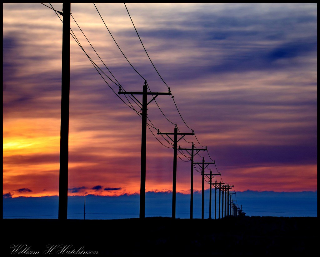
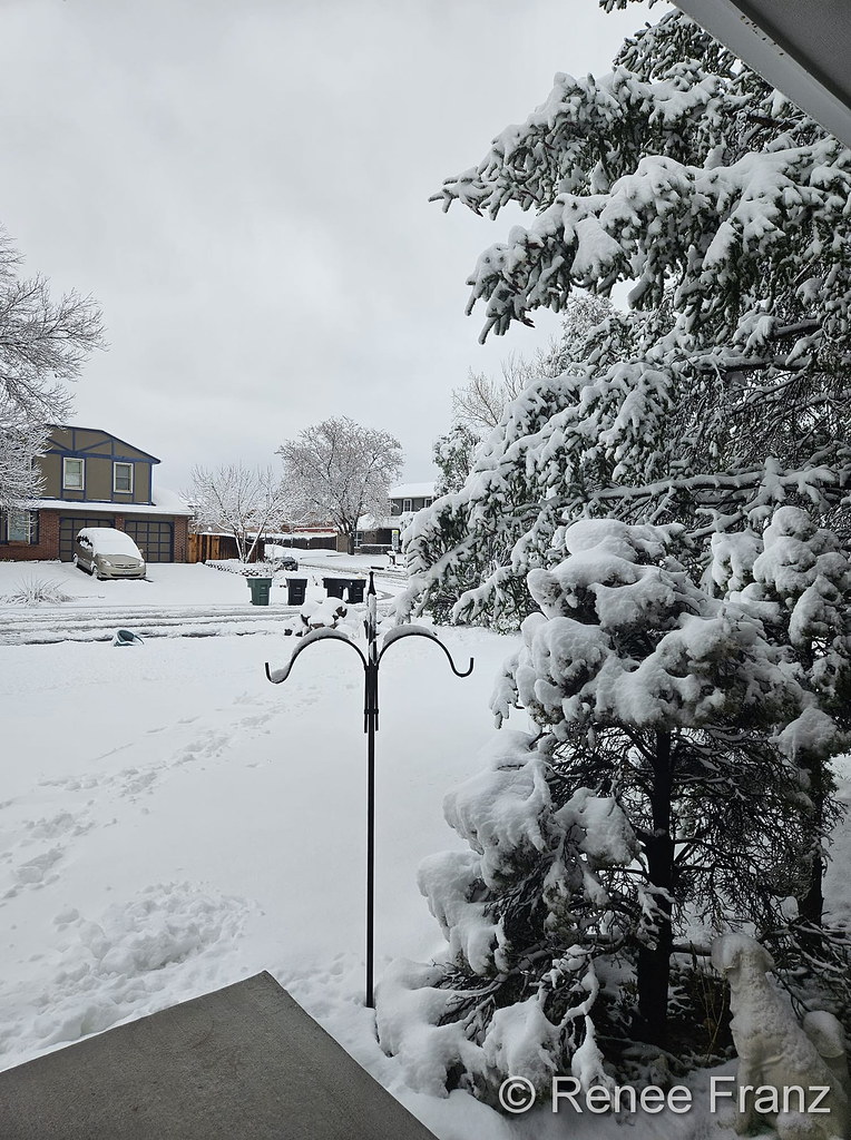
48°F
Thornton, Colorado, USA
UpdatedFri, 24-Mar-2023 4:55pm MDT 
 

Navigation

ThorntonWeather.com on Twitter

ThorntonWeather.com on Facebook


Weather Geek Stuff - weathergeekstuff.com

Rocky Mountain Weather Network

Tony's Takes Photography

ThorntonWeather.com

Recent News and Posts


Thursday in Thornton to bring cool, calm conditions

Thursday, March 2nd, 2023 5:00am MDT

Following our light shot of snow late yesterday, we dry out today with what will actually be a pleasant day. Temps will be a bit below normal but conditions will be calm.

Mostly sunny skies will be above throughout the daytime hours. Overall conditions will be calm and dry. High temperatures will top out in the mid-40s.

Tonight, clouds will be increasing as another weak system approaches. Overnight lows will be in the mid-20s.

Join the Discussion - Post your commentJoin the Discussion!

Weak system to chill Thornton out Wednesday, possibly bring a touch of snow

Wednesday, March 1st, 2023 4:59am MDT

A return to wintry conditions today as a system moves through. It will, however, be more of a show for the mountains with little effect for us.

Mostly cloudy skies will be above throughout the day today. Temperatures will be chilly with highs in the low to mid-40s. Breezy winds this afternoon will make it feel colder.

After noon we begin to see some chances for snow that will last through tonight. At this time, we aren’t expecting much at all in terms of the white stuff, maybe a half inch or so between noon today and dawn tomorrow.

Tonight, flurries / light snow will be seen. Lows will drop to around 20 degrees.

Join the Discussion - Post your commentJoin the Discussion!

Cool temperatures, windy conditions for Tuesday in Thornton

Tuesday, February 28th, 2023 5:00am MDT

Batten down the hatches because here comes the wind. While we will be a bit warmer than normal, wind today will prevent enjoyment of the outdoors.

Mostly sunny skies will be with us throughout the daytime hours. High temperatures will top out near the 50 degree mark. Winds will be light initially but then be increasing in speed through the morning. By this afternoon, it will be quite windy with gusts to 40+ mph being possible.

This evening, winds will slowly decrease, finally becoming calm close to midnight. Overnight lows will be around 20 degrees under partly cloudy skies.

Keep an eye on the wind speeds with our live gauges here.

Join the Discussion - Post your commentJoin the Discussion!

Above normal temps for Thornton’s Monday but with breezy winds

Monday, February 27th, 2023 4:59am MDT

Not too bad of a way to start the workweek although the wind will be an annoyance. We will, however, enjoy above normal temps and a good bit of sun.

Overall, mostly sunny skies will be above throughout the daytime hours. Breezy west winds look to be present all day, finally tapering off after about 4:00pm. High temperatures will top out in the mid-50s.

Tonight, skies will be partly cloudy with lows in the mid-20s.

Join the Discussion - Post your commentJoin the Discussion!

February 2023 top shots: Monthly photo slideshow

Monday, February 27th, 2023 3:26am MDT
Lenticular clouds float above the Rocky Mountains. (Katie Cox)

Lenticular clouds float above the Rocky Mountains. (Katie Cox)

February signifies the start of the climb toward warmer temperatures for the year.  Cold and snow though do intrude but, coupled with milder conditions, there are lots of photo opportunities as can be seen in our monthly slideshow.

The month is one of our least snowiest of the year but it isn’t unusual to see the landscape blanketed in white.  Warming temperatures through the month can bring the onset of spring fever and gives residents the opportunity to enjoy some prolonged time outdoors on the mild days.

Cold or mild, snowy or dry, our scenery is almost always gorgeous – and photo worthy.

  • Slideshow updated February 27, 2023
  • To learn more about how to send your photo to us for inclusion in the slideshow, see below the slideshow.

Showcasing images captured by ThorntonWeather.com readers as well as some of our own, our monthly slideshow covers the entire gamut of weather-related imagery.

Sunsets, sunrises, wildlife and of course every type of weather condition are vividly depicted in images captured from yours and our cameras.

What is missing in the slideshow above?  Your photo!

Our monthly photo slideshow is going to feature images that we have taken but more importantly images that you have captured.  The photos can be of anything even remotely weather-related.

Landscapes, current conditions, wildlife, pets, kids.  Whimsical, newsy, artsy.  Taken at the zoo, some other area attraction, a local park, a national park or your backyard.  You name it, we want to see and share it!

Images can be taken in Thornton, Denver or anywhere across the extraordinary Centennial State.  We’ll even take some from out of state if we can tie it to Colorado somehow.

We’ll keep the criteria very open to interpretation with just about any image eligible to be shown in our slideshows.

What do you win for having your image in our slideshow?  We are just a ‘mom and pop’ outfit and make no money from our site so we really don’t have the means to provide prizes.  However you will have our undying gratitude and the satisfaction that your images are shared on the most popular website in Thornton.

To share you images with us and get them included in the slideshow just email them to us or share them with ThorntonWeather.com on any of the various social media outlets.  Links are provided below.

So come on, get those camera’s rolling!

Join the Discussion - Post your commentJoin the Discussion!

February 26 to March 4: This Week in Denver Weather History

Sunday, February 26th, 2023 5:00am MDT

This Week in Denver Weather History

In the past week Denver has seen its fair share of wind and snow and looking back at this week in Denver weather history, we see both are common conditions.

From the National Weather Service:

22-29

In 1960…heavy snowfall of 6.1 inches at Stapleton Airport on the 22nd and 23rd marked the beginning of a protracted cold spell which lasted until the end of the month. The cloudy… Cold weather was accompanied by occasional light snow or flurries and fog. New record low temperatures for the dates were set on the 24th thru the 29th with the lowest temperature of 11 degrees below zero on the 28th. The seven consecutive days of low temperatures of zero or below had been exceeded in duration only 4 times previously. New low maximum temperatures for the dates were set on the 23rd… 24th…and the 26th thru the 29th with the lowest maximum temperature of 8 degrees recorded on the 26th.

25-26

In 1971…a wind gust to 100 mph was recorded in Boulder at the National Center for Atmospheric Research. The cold west winds gusted to 53 mph in downtown Boulder. No damage was reported. Northwest winds gusted to 31 mph on the 25th and to 38 mph on the 26th at Stapleton International Airport.

In 1984…a heavy snow storm left 1 to 2 feet of new snow in the foothills west of Denver. I-70 was closed…stranding skiers returning from the mountains. Most had to spend several hours in Idaho Springs. The snow spread over metro Denver with 9 inches at Littleton…Castle Rock…and Boulder and up to 5 inches in Aurora and Denver. Snowfall totaled only 3.6 inches at Stapleton International Airport where north winds gusted to 31 mph.

26

In 1884…heavy snowfall totaled 6.0 inches in downtown Denver.

In 1908…a duststorm occurred in the city during the afternoon. Northwest winds were sustained from 14 to 24 mph.

In 1918…pre-frontal Chinook winds from the southwest… Sustained to 43 mph with a maximum velocity to 52 mph… Warmed temperatures to a high of 62 degrees.

In 1954…strong Chinook winds gusting to 52 mph during the morning warmed the temperature in Denver to a balmy 65 degrees by early afternoon. A vigorous Canadian cold front during the late afternoon produced north winds at sustained speeds of 52 mph with gusts as high as 65 mph and billows of blowing dust…which reduced the visibility to as low as 1 mile at Stapleton Airport. Showers left half an inch of snow on the ground as the temperature dipped to a low of 27 degrees before midnight.

In 1989…a brief rain shower produced a microburst wind gust to 51 mph at Stapleton International Airport.

In 1997…snowfall totaled 4 to 6 inches in and near the foothills. Only 0.8 inch of snow fell at the site of the former Stapleton International Airport. Northeast winds gusted to 29 mph at Denver International Airport.

In 2013…a storm system produced heavy snow in the Front Range Foothills. Storm totals included: 12 inches near Black Mountain and Pine Junction…10 inches near Conifer and Nederland; 9 inches…12 miles northwest of Golden; 8 inches near Evergreen…with 6 inches near Eldorado Springs. Snow and blowing snow produced blizzard conditions along and south of the Interstate 70 corridor…just east of Denver.  Storm totals generally ranged from 3 to 7 inches. North winds of 25 to 30 mph were reported with gusts around 40 mph. Roads became impassable as snow and blowing snow produced 3 to 4 ft snow drifts. Interstate 70 was closed from Aurora to the Kansas state line. At Denver International Airport…a peak wind gust to 31 mph was reported along with 1.0 inch of snow.

26-27

In 1893…heavy snowfall totaled 7.9 inches in downtown Denver. Most of the snow…6.7 inches…fell on the 27th. Northeast winds were sustained to 18 mph with gusts to 30 mph behind an apparent cold front.

In 1939…heavy snowfall of 8.1 inches was the heaviest of the month in downtown Denver. North winds sustained to 21 mph on the 26th and to 28 mph on the 27th caused much drifting. The greatest snow depth on the ground was 7.8 inches at noon on the 27th.

In 1987…a snowstorm dropped 4 to 8 inches of snow across metro Denver…causing flight delays at Stapleton International Airport where snowfall totaled 3.8 inches and north winds gusted to 24 mph. Both I-70 and I-25 were closed for a time to the east and south of Denver.

27

In 1896…northwest winds were sustained to 46 mph with gusts to 58 mph.

In 1902…northwest winds were sustained to 50 mph with gusts as high as 60 mph. The high temperature was 44 degrees.

In 1918…a post-frontal heavy snow storm developed over downtown Denver. Snowfall totaled 8.4 inches and north winds were sustained to 30 mph with a maximum velocity to 32 mph.

In 1963…west winds gusted to 55 mph at Stapleton Airport.

In 1974…a wind gust to 99 mph was recorded in Boulder. West winds gusted to 43 mph at Stapleton International Airport.

In 2009…a strong wind gusts blew a trailer in the path of two vehicles along State Highway 36…between Boulder and Lyons. The two vehicles were in the northbound lane when a wind gust blew a fifth-wheel trailer into their path… As it approached from the opposite lane. The trailer left the road surface…and collided with the top left side of the first car; causing extensive damage. A van following the first vehicle then struck the trailer. The driver of the van suffered facial injuries. » Click here to read the rest of February 26 to March 4: This Week in Denver Weather History

Join the Discussion - Post your commentJoin the Discussion!

Thornton’s weekend starts off with a chill, ends mild

Friday, February 24th, 2023 4:57am MDT

Friday we will be fighting off the lingering cold and temps will remain below normal. However, hang in there, warmer weather awaits Saturday and Sunday.

For today, we will have mostly sunny skies above and conditions will be calm. Temperatures will be chilly with highs in the mid-30s. Tonight, lows dip to the teens under partly cloudy skies.

Saturday we warm up nicely. Conditions will be calm under mostly sunny skies. Highs will reach the mid-50s. Saturday night, mostly clear skies will be above with lows in the mid to upper 20s.

Sunday continues the relative warmth. Highs will be in the mid to upper 50s with mostly sunny skies. The afternoon brings some breezy winds just a bit of a chance for a rain shower. Have a great weekend!

Join the Discussion - Post your commentJoin the Discussion!

Denver sets record low maximum for February 23

Thursday, February 23rd, 2023 11:59pm MDT

Record Cold Temperatures

Two very cold days and a third cold weather record has been set with this latest Arctic blast.

As measured at Denver International Airport, the Mile High City’s high temperature today topped out at only 7 degrees. This easily breaks the previous record low maximum for the date of 10 degrees set in 1874.

Here in Thornton, we were able to see the mercury climb a bit higher topping out at 13 degrees.

The record low maximum follows on the heels of record low temperatures set today and yesterday.

Join the Discussion - Post your commentJoin the Discussion!

Denver sets record low temperature for February 23

Thursday, February 23rd, 2023 7:12am MDT

Record Cold Temperatures

Our latest Arctic plunge is coming to an end and with it, a record is broken.

As measured at Denver International Airport, the Mile High City bottomed out at -11 degrees this morning. That breaks the old record low for the date of -7 degrees set just last year in 2022.

Here in Thornton we were similar cold with a low of -10 degrees.

Join the Discussion - Post your commentJoin the Discussion!

Bitter cold remains in Thornton on Thursday, slight chance for a touch of snow

Thursday, February 23rd, 2023 5:10am MDT

Oh yeah, just a little bit chilly out there. As of this writing at 4:00am, Thornton was down to -9 degrees and it may be even colder by the time you read this. We will see some relief today but not much.

Mostly sunny skies start us off and will be with us till this afternoon when cloud cover will increase some. Late afternoon brings a slight chance to see a few flurries / light snow. Minimal accumulations are expected. Temperatures today will only top out in the mid to upper teens.

Tonight, some light snow will be possible until about 10:00pm. Again, only light accumulations, if any, are expected. After that partly clear skies will be above and we will be headed toward an overnight low into the single digits.

Join the Discussion - Post your commentJoin the Discussion!